Mt Kaputar National Park in north-west New South Wales is rugged, beautiful, and awe-inspiring. The mainly agricultural countryside here is very flat, so the Nandewar Range and its volcanic rock sentinels are distinctive — and old. It’s estimated that the volcanic activity that formed them was 17-21 million years ago.
At 1510 metres above sea level, Mt Kaputar itself has been calling to me for years as I drove along the Kamilaroi Highway to Narrabri or Moree for book talks.
I never had time to turn off for a few hours to answer that call.
But last week, in between protest actions against Santos CSG project in the Pilliga Forest, I made time. My Gypsy camper and I wound our way up easily — caravans aren’t allowed — and spent two nights at the highest camping area, Dawsons Springs. I had to work, so only did a few walks one morning — but I’ll be back.
This is quite swish camping for $5 a night, with hot showers and flushing loos, but the site still feels high and wild, replete with browsing Eastern Grey kangaroos and many birds.
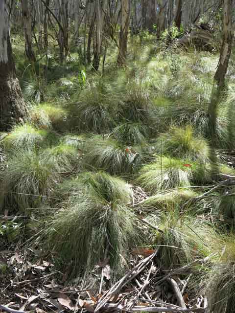
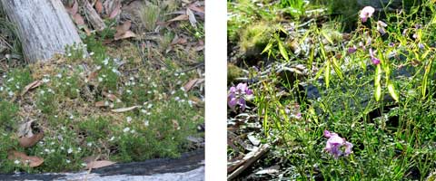
Snow gums and silvertop stringybarks arch over soft mounds of Poa tussock grass and many small flowering herbs. I can’t decide whether to look up or down!
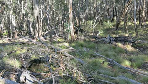
There are an incredible number of fallen trees thoughout the forest, uprooted and broken. I can only imagine how strong the winds must blow at this height — and how fiercely this would all burn.
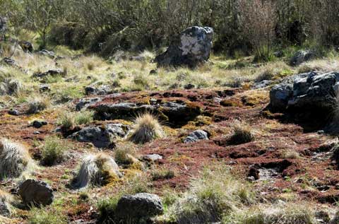
From open forest to strange rocky heaths, this place has a spine-tingling presence and great cultural significance to the Gomeroi people. When I return, I hope to be guided by them, as elder Alf Priestley, whom I re-met at the Pilliga Ten Mile Dam camp, has offered to do.
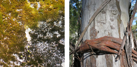
As always, I am fascinated by the details of shape and colour, of natural artistry, from lichens to bark…
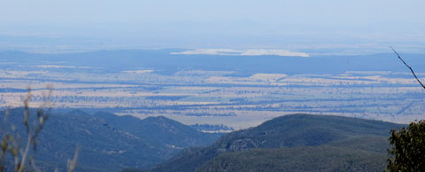
My pleasure was only spoiled by the reality check of what I saw from one lookout. In an echo of the Hunter, the overburden scar of the Boggabri mine near Leard Forest was clearly visible. How much bigger will this be if the nearby Maules Creek mine goes ahead?
