Watching

The whales are migrating north now, and Tacking Point Lighthouse is reputedly one of the best spots on the mid north coast to see them.

But the weather has been cold and wet, with the showers unpredictable.

There are quite a few people looking out to sea for those telltale plumes of white as the whales come up for air, and ‘blow’.

And we do see some, but they are a long way out to sea.

I am impressed by the quiet and calm, as people patiently watch. Some have binoculars, some have cameras, but all are quiet.

It’s cold and windy; this requires perseverance. Not instant enough for the few kids, who quickly drag their parents away.

We scan the horizon from left to right constantly. Hoping. But any right-minded whale would stay under as long as possible; the water is warmer than the air.

A white cap? A blow? Mutterings and pointings. Heads and binoculars swivel.

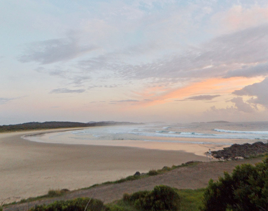
To the south, along Lighthouse Beach, the weather looks more appealing… but still no whale sightings.

One man has binoculars set up on a tripod and speaks into his phone often. I guess he is alerting a whale watching boat where to go to get closer for its tourists. This is school holiday time, so lots of people are here wanting to see these ocean giants.

Maybe I need to do the tourist thing and book on a boat?

Far out, to the south, I spot a partial rainbow, but it does not bring the reward of a whale.

Dolphins swim close to our vantage point, but, charming as they are, I see them often.

For me the most impressive part of this whale watching excursion has been watching the calm patience of ‘the people watching for whales’.

It feels like they are aware of the majesty of these huge creatures on their epic journeys. 

As if in the presence of the sacred, as in church, they sense the appropriateness of staying silent.

This does not happen often in our culture.

Nature’s sunny side

I was hurrying to beat the sun before it rose over the sea’s horizon and became too bright to photograph.

I failed, but Nature still gave me a spectacular display.

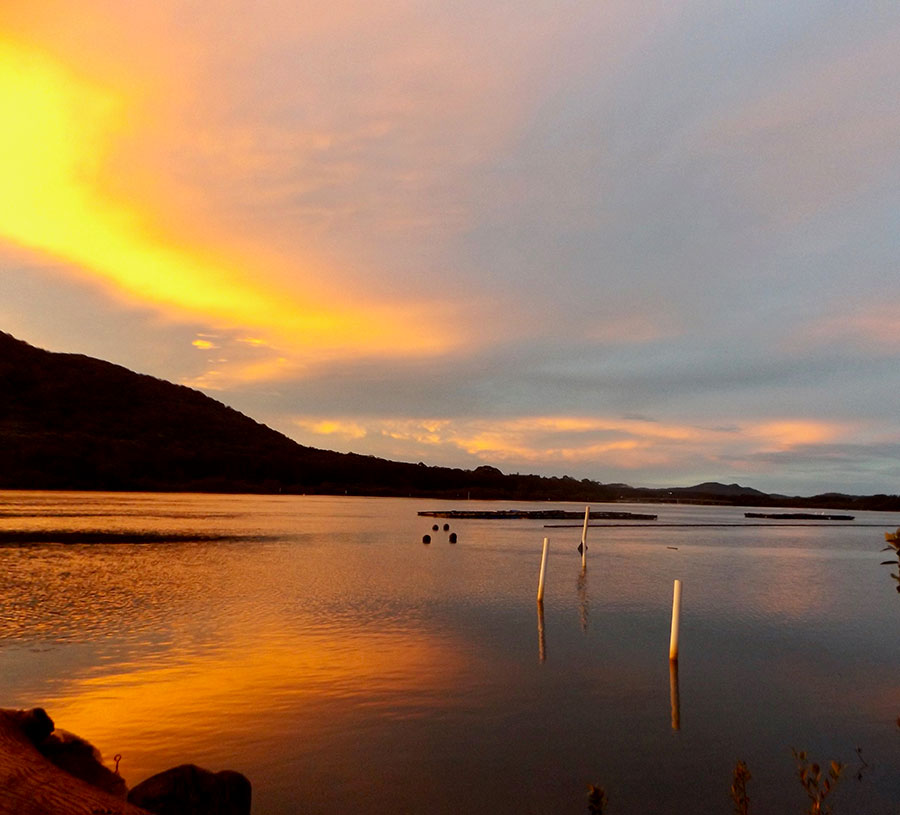
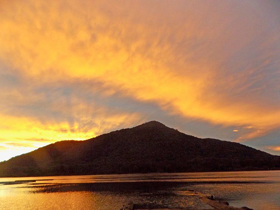
While the land and sea were still largely cloaked in the greys and blacks of the previous night, on either side of the hill known as Nobbys, the sun was proclaiming the day.

Within seconds, that daily wonder had risen far enough to be making its way across the water to be colouring the coast.

How come this is a free show every day? Somebody should tax it…

Maybe this is the compensation we get for the loss of such golden people as Janet Cohen, who could see both dark and sunny sides of life.

Even on less showy starts to a day, when the sunshine really is reluctant to come out from behind the clouds, we can be sure it’s there, and that the colours will return to our landscape.

I doubt the bombarded people of the Middle East would be seeing much more than the grey of the rubble that once was their home – and the red of the blood from people, friends, family.

How do they hold on to the sunny side when it is just a memory?

What side of Nature would be visible in Gaza? 

As I walk home, I marvel at the extended free show, at the sunrise reflecting on the glass patio panels of an apartment block.

I vow to hang on to that sunny side of life, despite all the darkness we are seeing spread across the world, as an ignorant bully inflicts his tantrums on so many innocent people.

Here we are safe from bombs, so that in itself has to be seen as part of the sunny side, albeit clouded over. Although far away, we are certainly impacted, as felt by the $3.30 a litre I paid for diesel last time I topped up my little van.

Mere ripples from the bad-tempered stamping feet of the bully…

Coastal garden

Port Macquarie has many large and handsome native fig trees, which I think are Port Jackson or Rusty figs (Ficus rubiginosa). 

Currently they are laden with fruit, which will turn red when they ripen. Whilst edible by humans, they are not deemed very palatable, but are eaten by flying foxes and many native birds.

In flower right now on this coastal walking strip is another tree, with such pretty pink flowers and deeper pink buds that I wondered if it was indeed native. There are several of them, but growing near such a populous area I could suspect garden-escapees… 

I was surprised at the size of the tree on which it blooms, and then spotted an even larger tree covered in the same flowers. 

But I was right to be suspicious: this is actually Norfolk Island Hibiscus (Lagunaria patersonia), a native of Lord Howe and Norfolk Islands.

It is also called Itchy Bomb tree, as it can irritate airways and skin, and has proven an invasive weed in mangrove forests. It certainly does well here, and by the size of these trees, has done so for a long time.

The native Swamp or Spider Lilies (Crinum pedunculata) are showy enough to also be garden plants, but they do belong here.

And this native one I know is often used in landscaping: the Blue Flax Lily (Dianella revolutum), here showing its purply-blue berries that follow the bright blue flowers.

All this late Spring lavishness within minutes walking from busy streets… amazing!

And on the other side, the sea. How lucky am I?

Bird woods

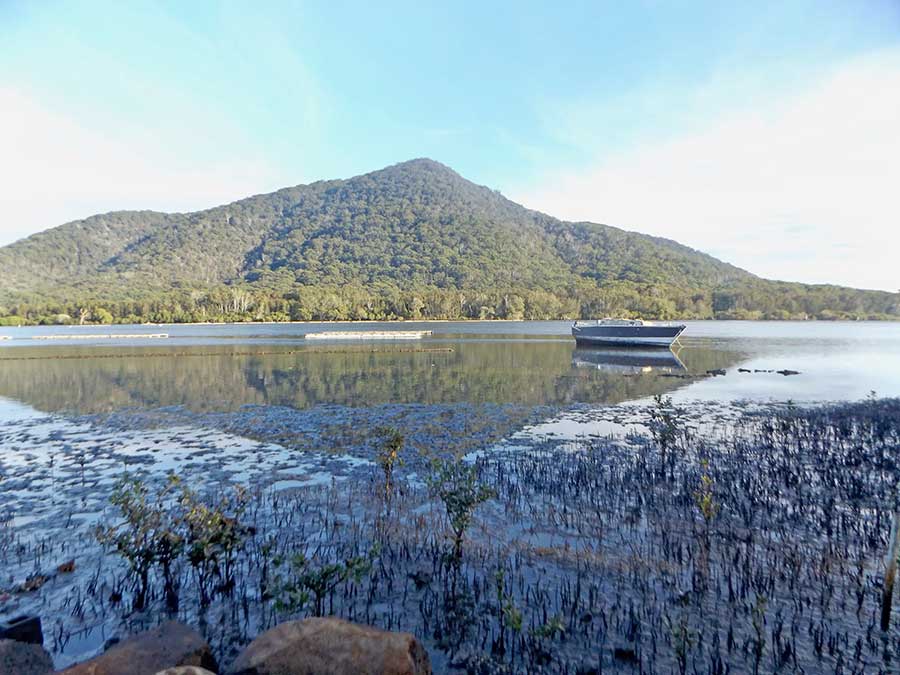
The Camden Haven River is fringed with magnificent mangrove forests that bridge the strip between the tidal waterway, with its many oyster beds, and the land.

Some of the mangrove trees are larger than I knew they grew. This one seemed to have a hollow, low down, perhaps where a branch had broken off. Then a swift movement made me grab the phone… no real camera with me.

A bird had flown up and into that hole. It reappeared and sat on top of the entry. Zooming in… a kingfisher?

The park that runs beside the river is full of sculptures, trees that have formed their own shapes, like these two that have grown together to become one and then branched to three to reach the sky.

Some of the figs are mighty, spreading and shady, with swirling, sinuous branches.

Their intricate complications begin at their toes.

In a different sort of Park, Sea Acres at Port Macquarie, I saw a different sort of bird, an owl, Ninox, carved from wood into a seat with embracing wings.

It has the teacher’s spot, facing a wider education space along the walkway, with carved timber entry posts.

But Port Macquarie is identified not by its remnant coastal rainforest, but by its many tall pine trees, planted long ago, dominating the skyline. As I walk under them, I look down, and find their trimmed roots forming different sculptures yet again.

Truly, Nature makes Art everywhere, if we but look…

Wild coast

With big seas forecast and several people drowned on the east coast over Easter, swept away by sudden high waves, I knew I’d better head to the sea for my first blog post at home. I could hear the roaring well before I could see its source.

The sea was heaving, its rolling waves evident for a long way offshore.

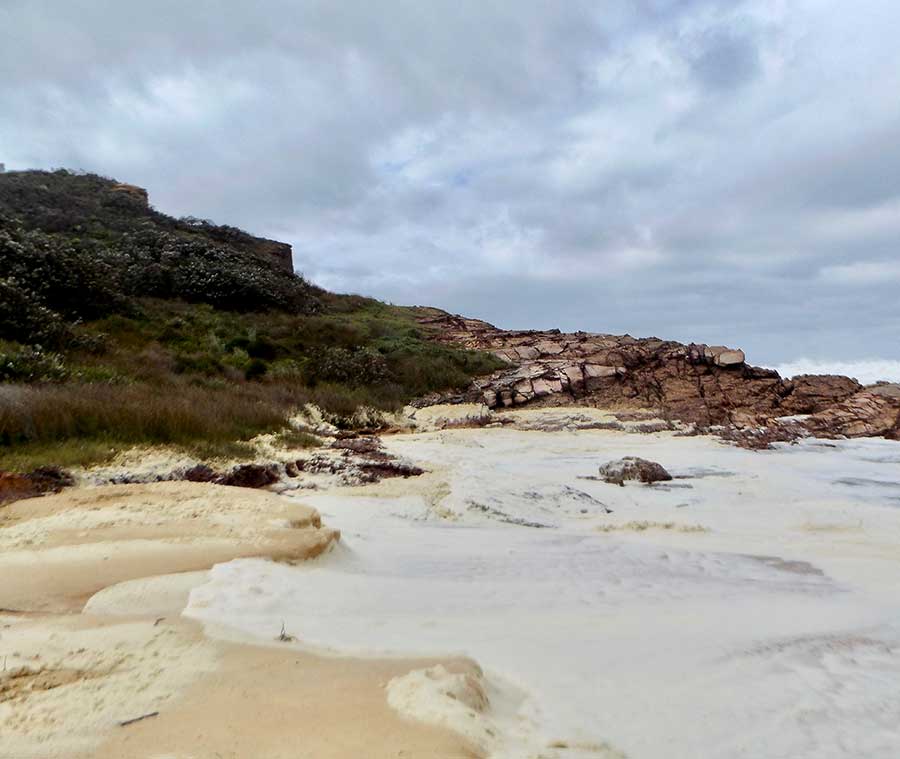
The Port Macquarie shoreline rocks are dark and jagged; I always think of the unlikelihood of surviving a shipwreck here when I see them.

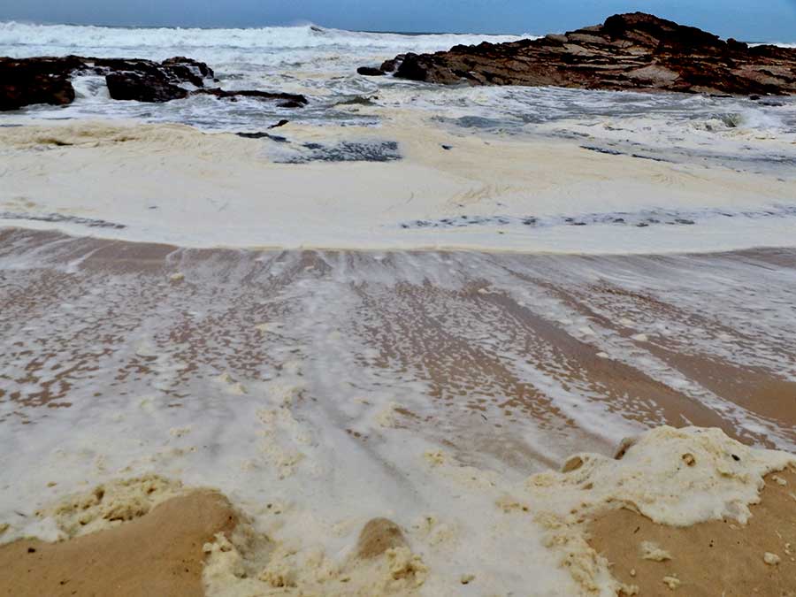
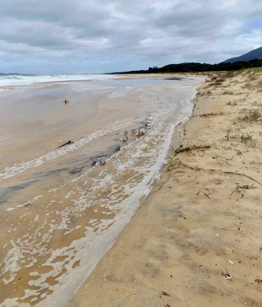
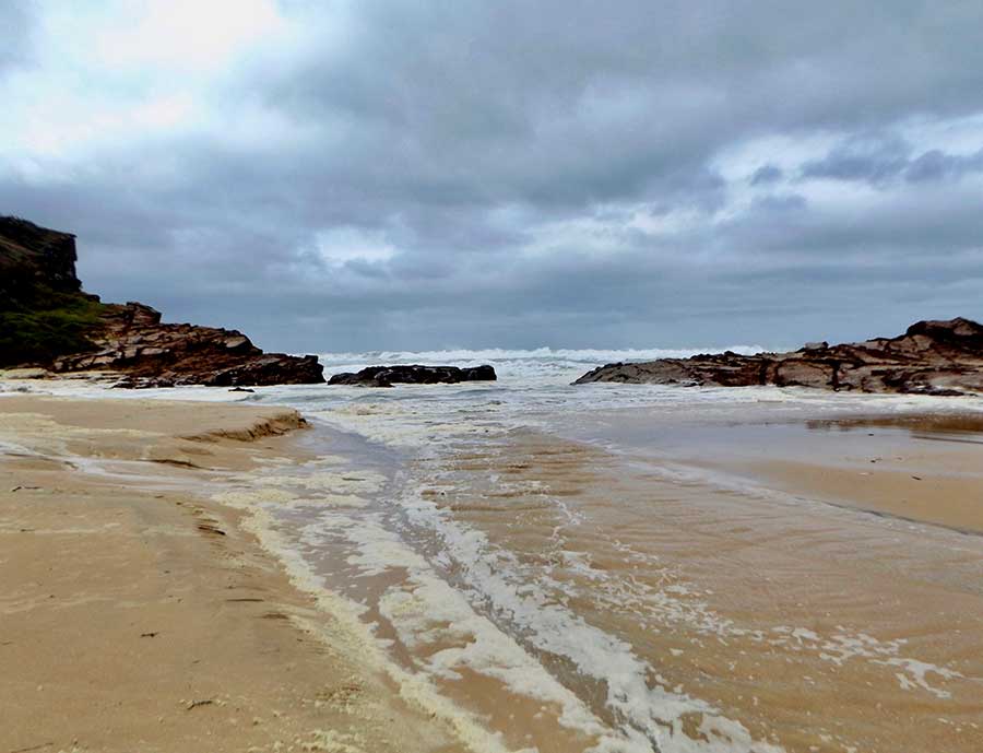
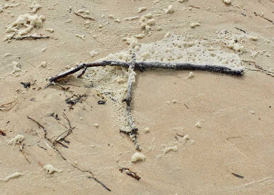
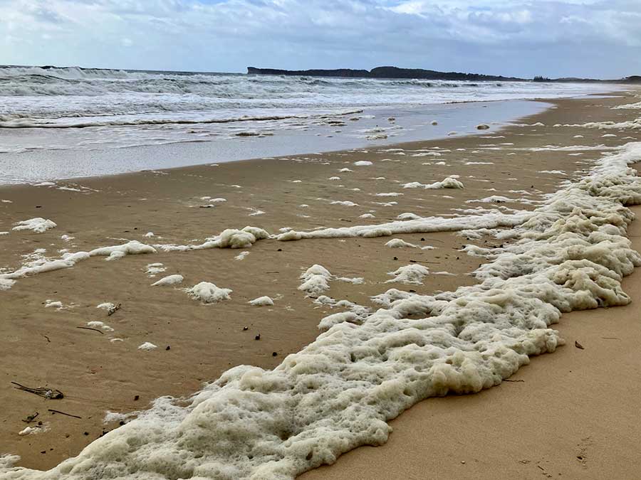
But today the surf that pounds these rocks is not like the surf we usually see, a refreshing topping on the waves, but thick and soapy, whipped into white suds.

Wary of those hungry high waves, I walk down to the grassy headland to get a closer look.

It is actually a little scary being so close to this constant lashing and roaring; I know the tide is coming in, and when I start to feel the sea spray on my face, I turn back.

There are waves breaking out to sea off the Tacking Point Lighthouse; not just rolling, but cresting.

Even the little bay before it is wild, white water constantly breaking over its rocks, making waterfalls every few seconds.

Close to shore, in front of the seafoam, the water is a kind of jade green colour. It catches my eye amidst all that white.

Not the bright turquoise of Tasmania’s east coast, but in fact today this coast reminds me of the fierce Southern Ocean of Tasmania’s west coast. It sounds like it too.

No wonder there were so many families at calm Lake Cathie yesterday; no beach would have been safe for swimming.

Top down

Tasmania has great wide cloudscapes, and because of all the mountain ranges, it gathers lots of clouds. Most mornings seem to begin with cloud.

From almost anywhere you can see mountains.

The bleached colour of the fields is also common, with or without sheep, shorn white or unshorn dirty grey.

I had aimed for the top of the island, and did reach Musselroe Bay but it was so windy I didn’t stay.

Mt William National Park is in my sights before I head south along the east coast. 

I drive through hectares of low coastal plants like this.

I climb rocky Mt William, although the sandy walk to its top was more interesting to me than the view. 

This white lichen seemed to echo the sand colour.

I stop in the car park afterwards to make a coffee.

Whence I leave the induction cooktop on the bench to cool… and forget about it as I drive off.

I remember it only as it crashes to the floor at the first bump.

Disaster, discovered later. Cold dinner that night.

I camp along this east coast, so very different from the wild west coast’s Southern Ocean.

At a place north of Binalong Bay, called The Gardens, I first see the astonishing clear blue-green of the sea here. I will find it  all along the east coast. I think of a postcard I once saw of the Isle of Capri.

The white sands are typical. This is part of the Bay of Fires, a most beautiful stretch of coast north of St Helens.

I had thought this Bay was so called because of the vivid orange-lichened rocks, Caloplaca marina, but no, it was due to the fires of the local Kinnara Kuna tribe seen along this north-east coast by Captain Furneaux in 1773.

The tea-coloured lagoon behind this beach is also eye-catching, as are its shapely dolerite rocks.

The ubiquitous black swans like this lagoon too, cruising about in their stately manner.

Not knowing what is to come, I take far too many photos of orange rocks…

Coastal kingdom

After so many forests and ferns, mountains and mosses, I was ready for a change pf landscape and vegetation. Narawntapu National Park provided just that… a coastal kingdom for the many creatures that live there

Like most National Parks, its roads are restricted to 40kmh, for the sake of wildlife. I think speed limits on all Tassie roads should be reduced, given the amount of roadkill. 

Due to the windy conditions I was advised to camp at Koybaa, which was protected; it was quiet, with only one other invisible camper, and I felt at last as if I was in the bush — without people.

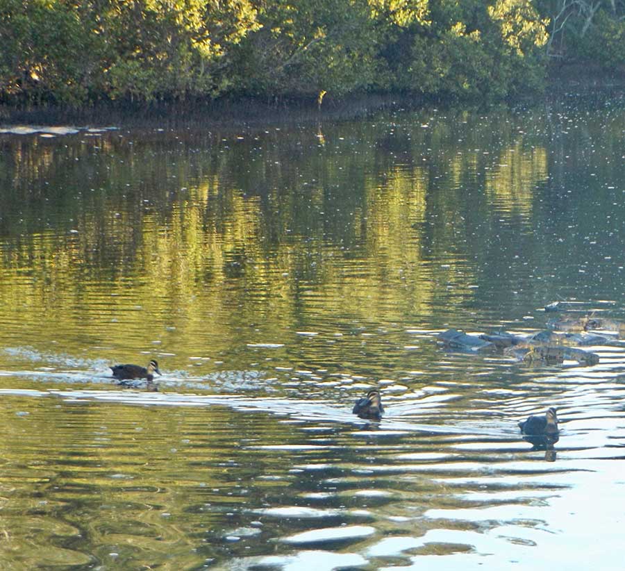
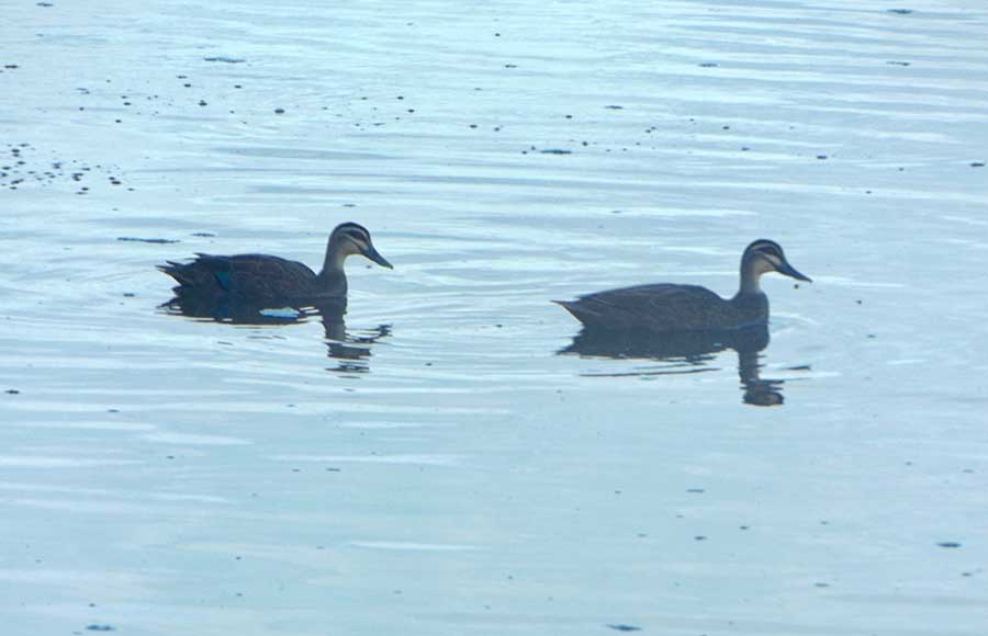
Next morning I walked first to the bird hide at the wetlands, but too late, as there were only a few ducks about.

And then on — and up — to Archer’s Knob.

The walk went along a sandy track through such diverse vegetation that I was constantly taking photos.

Like these paperbarks, clearly designed by Dr Seuss, as I have noted elsewhere, with their little topknots of leaves.

There were many swamps, both water-filled and dry. The paperbarks did their best to infill in massed numbers.

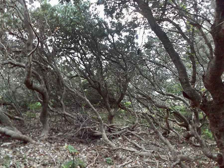
There were wind-battered older trees, like this one with its feet crossed.

Plenty of pademelons were still out and about, relatively unfazed by my trespassing in their kingdom.

I saw only one snake, black and very shiny. I waited until it had long left the narrrow track. Whatever it was, I knew Tassie’s three snake varieties — Tiger, Lowland Copperhead and White-lipped — were all venomous.

On top of Archers Knob was a colony of grass trees, waving gently in the breeze as if signalling.

Looking back over the Park, it was easy to see why it had such vibrant wildlife, from water birds to macropods, as it had such varied habitat.

In the other direction, at the end of the pristine and empty Bakers Beach, was Little Badger Head and Badger Head itself.

I loved the denseness of the bumpy bushes and curving trees; such perfect places for critters to live and hide in.

Narawntapu is a coastal blessing.

A taste of Bruny

Heading towards Bruny Island on the ferry from Kettering, the island seemed so long that I wasn’t sure if it was a real island. And what is ‘mainland’ to Bruny when Tasmania calls the other big bit of Australia ‘the mainland’?

We land at Roberts Point on North Bruny, the closest to the other side. 

Unlike the rest of the disembarking cars and vans, I head as far north as I can go,  to Dennes Point.

Dennes Point is a shock, as even after driving about half an hour on corrugated dirt road, I find a suburb. I am told that what were once all ‘shacks’ are now mainlanders’ million-dollar holiday homes.

It is only as I drive down though the heart of this place that I begin to understand how big it is – the size of Singapore, but with only 700 permanent residents. I can’t begin to guess how the tourists swell that number daily. The ferries run non-stop…

I go to Adventure Bay, where people are swimming in that beautifully clear water. I checked; it’s not cold.

Right at the bottom of South Bruny is the now-decommissioned Cape Bruny Lighthouse. The views from up there are spectacular on all sides.

Here I confess that somehow I managed to delete all but these two of those pics! Trust me, the cliffs are steep and rugged.

I camped at Jetty Beach. where the thousands of tiny crabs kept me from walking into the clear shallow water. There was no jetty, by the way.

Nor was there much peace, thanks to a yobbo who played loud music from his ute.

I left early before he could start up again.

Bruny has such a convoluted coastline that many places are close to water; there are hundreds of great views.

The island is so big that it has an internal landscape like the NE Tablelands, big forests of big trees, plains, beaches and coves. 

No wonder that Truganini’s tribe, the Nuenonne, numbering around 160 before whites invaded, could live well here. She was born here.

The two halves of Bruny are joined by a narrow strip of land, appropriately called The Neck.

Here there is a monument to Truganini, who in the end was not the last of the Tasmanian aboriigines… their culture continues today.

It is also a Fairy Penguin rookery and I could see many Short-tailed Shearwater (Mutton Bird) burrows.

A fitting end to my taste of Bruny. I needed to go there to better understand its story.

Like all the beauties of Tasmania, a pity about all us tourists…

South to Antarctica

Cockle Creek, where I am to camp ( if I can find a spot!), is as far south in Tasmania as you can drive. 

The nearby South East Cape is the southernmost bit of Australia. I’d been to the farthest west, now I want to feel what it’s like down here.

It’s closer to Antarctica here than to Cairns…

This bronze sculpture by Steven Walker of a young Southern Right Whale reminds us of the awful whaling industry that once thrived here.

This is Recherche Bay, and that French connection is the other reason I wanted to come here.

Imagine the surprise and relief of the leaders of the two French ships, the Recherche and the Espérance, when they found this refuge. They spent more than four weeks here in 1792, and three weeks in 1793, resting, doing maintenance work on the ships, replenishing supplies like water… and  forming unusually good relationships wiith the local Aboriginal tribe, the Lylueqonny.

Admiral Bruni d’Entrecasteaux and his ships were looking for the lost La Perouse and his expedition; they didn’t find him.

Apart from the mapping they did, the ship’s botanist, Jacques Labillardiere, made an amazing compilation of Tasmanian plants.  

That early French connection is commemorated in many place names here. The British didn’t get to Tassie until 1803!

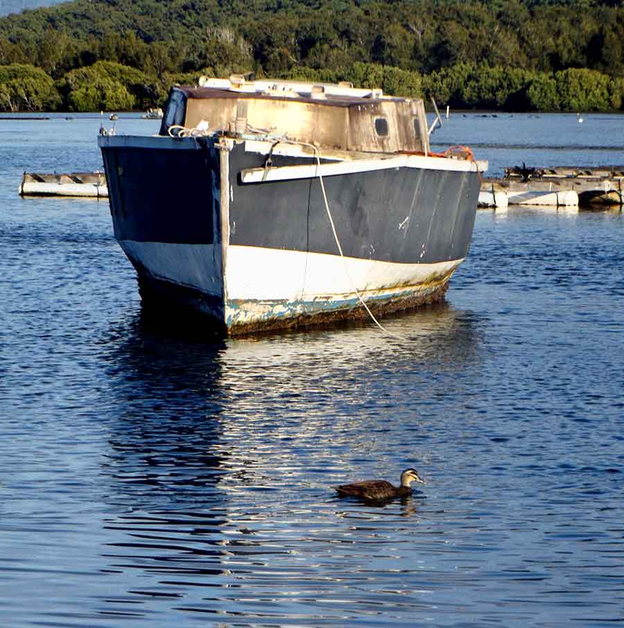
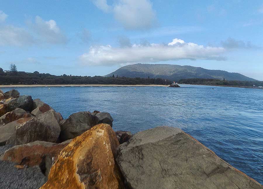
This Huon region is full of waterways, small ports, small boats and small villages.

And of course, apples. I  have yet to buy the apples and cider I want to take home, but Tassie is still often called the Apple Isle, so I assume I’ll get plenty of chances.

Sunrise show

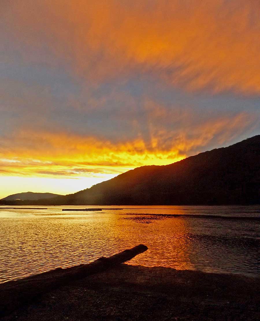
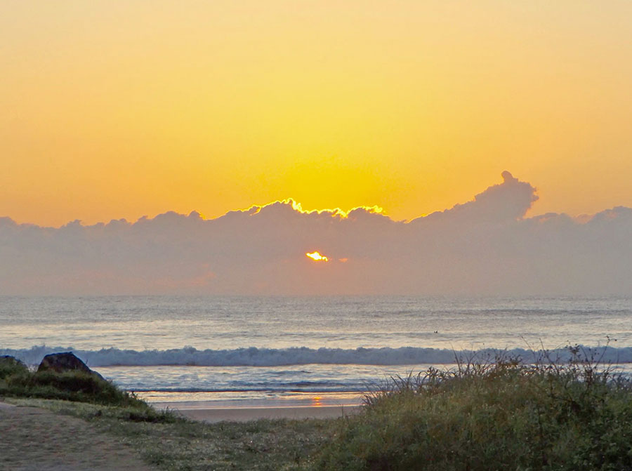
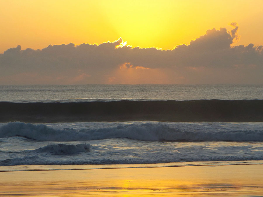
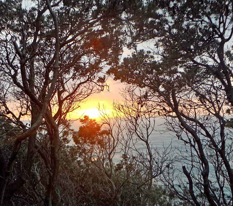
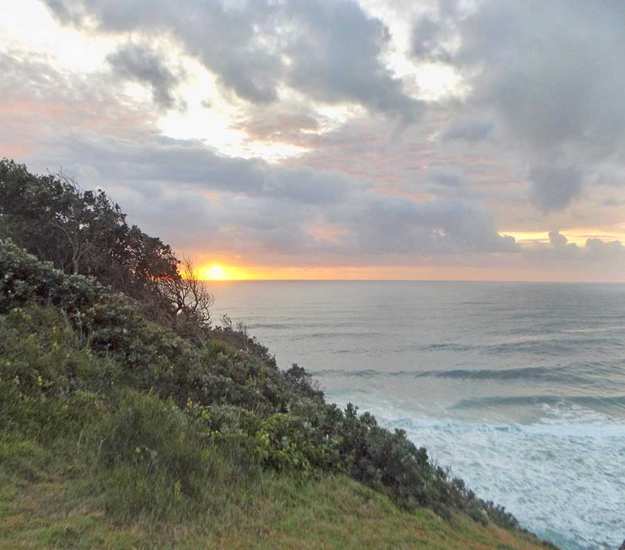
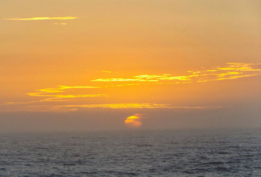
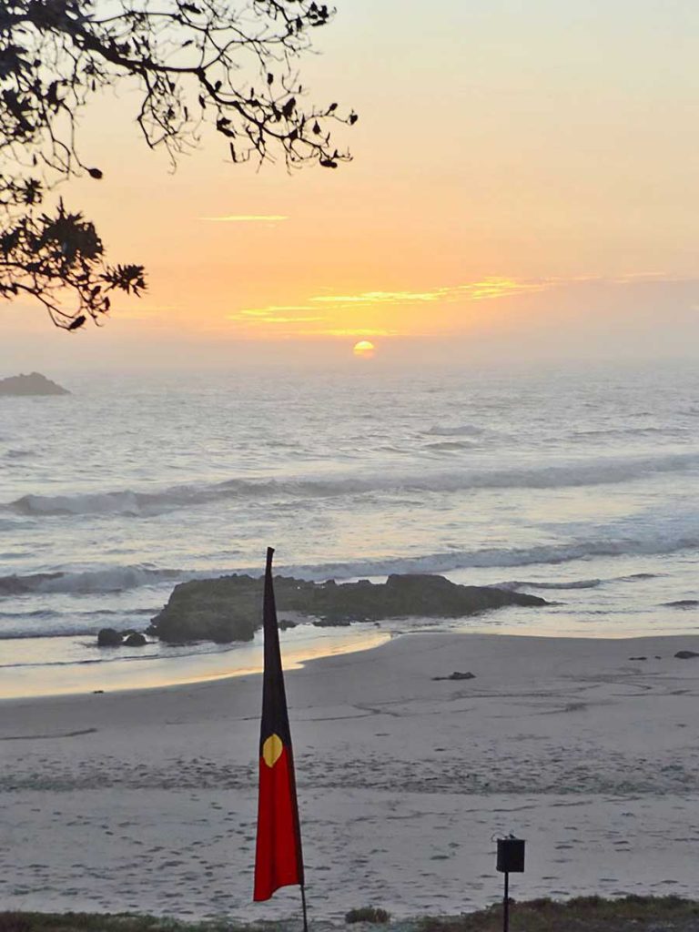
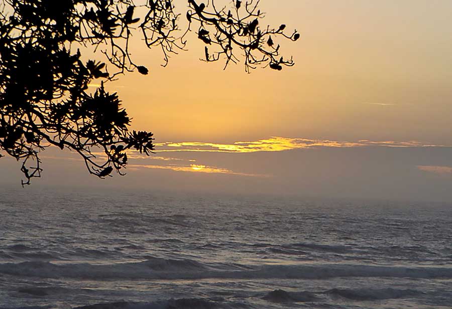
I hurried to the beach, seeing from afar that there were large clouds – always a sign of a good show to come – and that the morning’s spectacle had already started, even though it was only 6am. Pale gold predominated.

The sky above the horizon was soon gold and hectic orange below the still-dark serries of the cloud bank, and the errant small clouds above that were almost red. 

But as I watched, the vivid reds faded and the bright gold began to take over. And all this colour change glory before the sun had even made its appearance.

But then it did, peeping brightly white at the edge of the sea world, lipping the high clouds with pink light.

It burst free of the sea’s rim, ascending towards those defining clouds, curdling the sky, red into yellow. The rocks below were still dark.

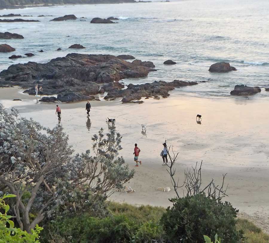
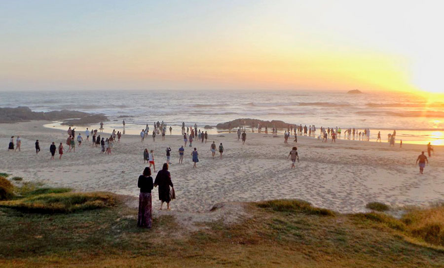
Runners and dog walkers passed me, chatting to each other, seemingly oblivious of the stunning free show that Nature was putting on.

Maybe they see it every day, but it’s always different, and so brief, it really wouldn’t take many minutes to stop and watch.

I do wonder about peoples’ priorities and values.  Fancy getting complacent, dismissive, about such ephemeral spectacles as sunrises!

After Lighthouse

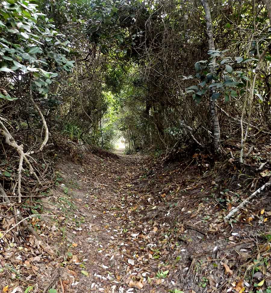
I have decided to investigate each of the fire trails that penetrate the bush and heath after the civilisation of Lighthouse Beach has been left behind.

The first is Immediately after the last ‘estate’.

So close to houses and yet still wild enough to house some surprises for me, like this fallen forked branch fully decked in what might be orchids? Healthy greenery at any rate…

There are enough older trees with hollows for other plants… and hopefully creatures…to use as homes.

Some trees are very large, like this impressive one, which I think is an Angophora. It is so grand that I am grateful it has survived; too twisty for saw logs?

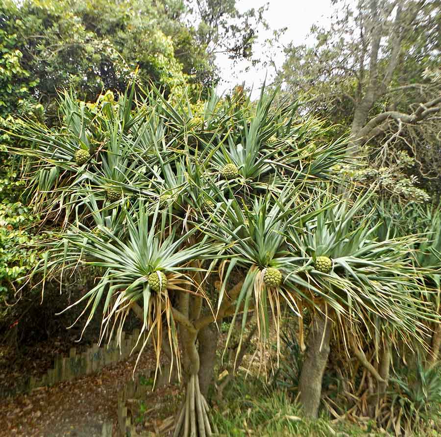
There is a variety of palms to be seen from the fire trail, adding to the patterns of foliage as if by design.

There are lots of paperbarks, including those surrounding a very full and rather scummy swamp.

A few wildflowers are out but what surprised me was above my eye level: a red-flowering mistletoe in a tree. Its slender bells were more noticeable when fallen onto the now sandy ground below.

Also eye-catching was a small sawn-off stump (ti-tree?) emulating a flower.

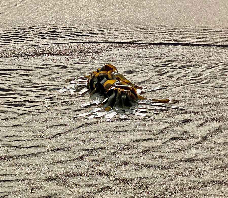
Almost at the beach, I was halted by this shell-studded plastic rope, its bright tresses cascading down the side of a Ned Kelly sculpture, a post. Someone must have picked it up as beach flotsam and grown weary of carrying it, but I appreciated the artistic sense of the arrangement.

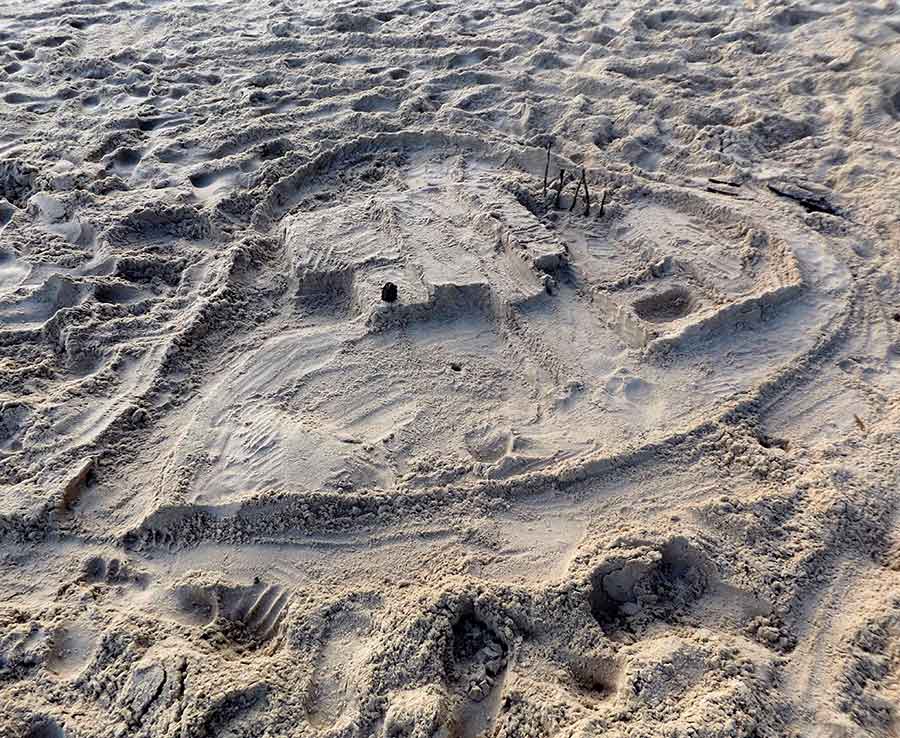
I did reach the sea, only to find the beach scored by 4WD tracks, even up on the higher levels where they should not be, where shorebirds might nest.

Worse than Dunbogan Beach.

But here is just south of the very popular Lighthouse Beach, and it is not long after the October weekend when thousands of extra people visited.

Still, the sea, collaborating with the sky and sun, make such a picture that I can ignore what has been done to the sand.

And the walk itself has been worth doing.

Port peace

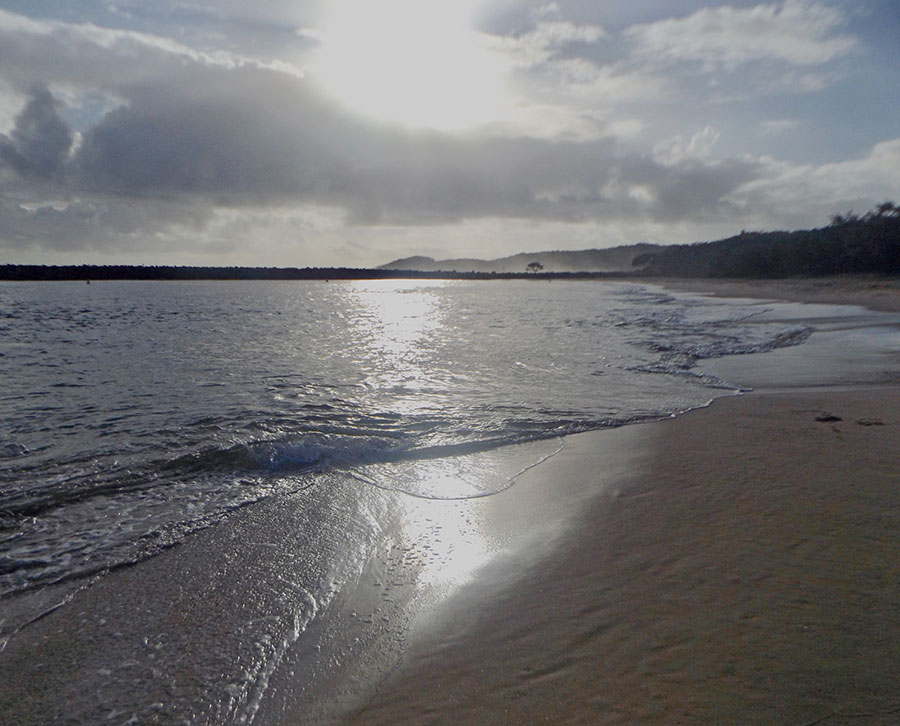
Today I dared my first beach walk, after a week flu-bound indoors, basically doing nought but coughing and sleeping.

The beach was pretty empty, although several fishermen were risking the rocks.

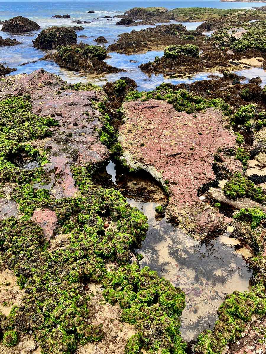
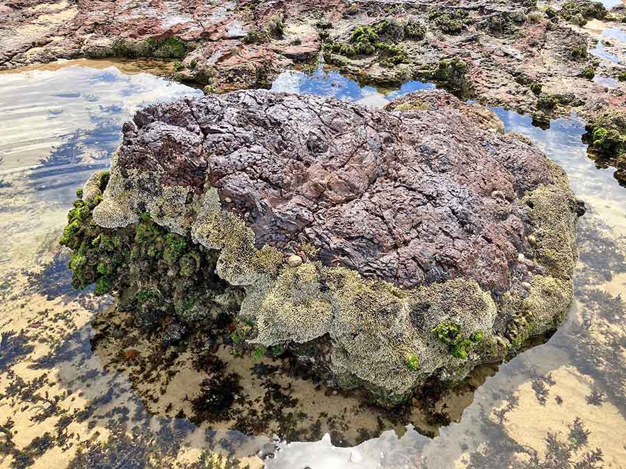
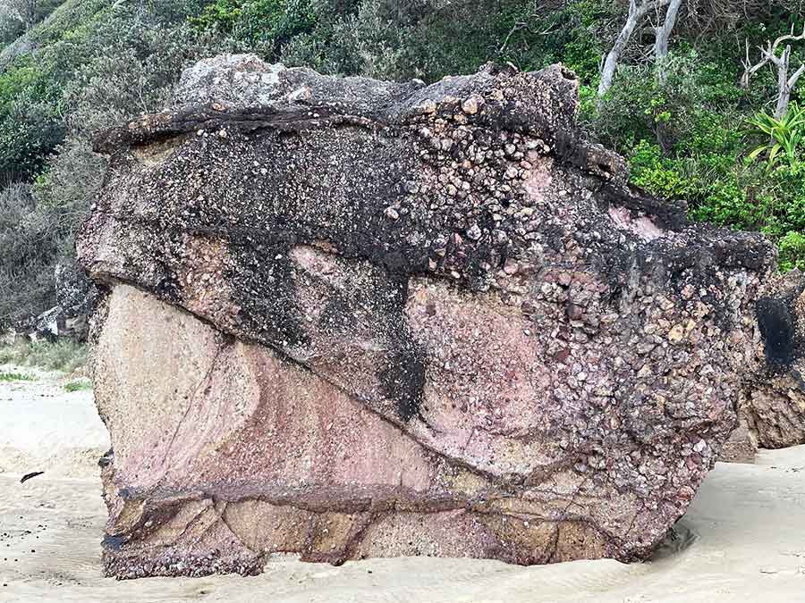
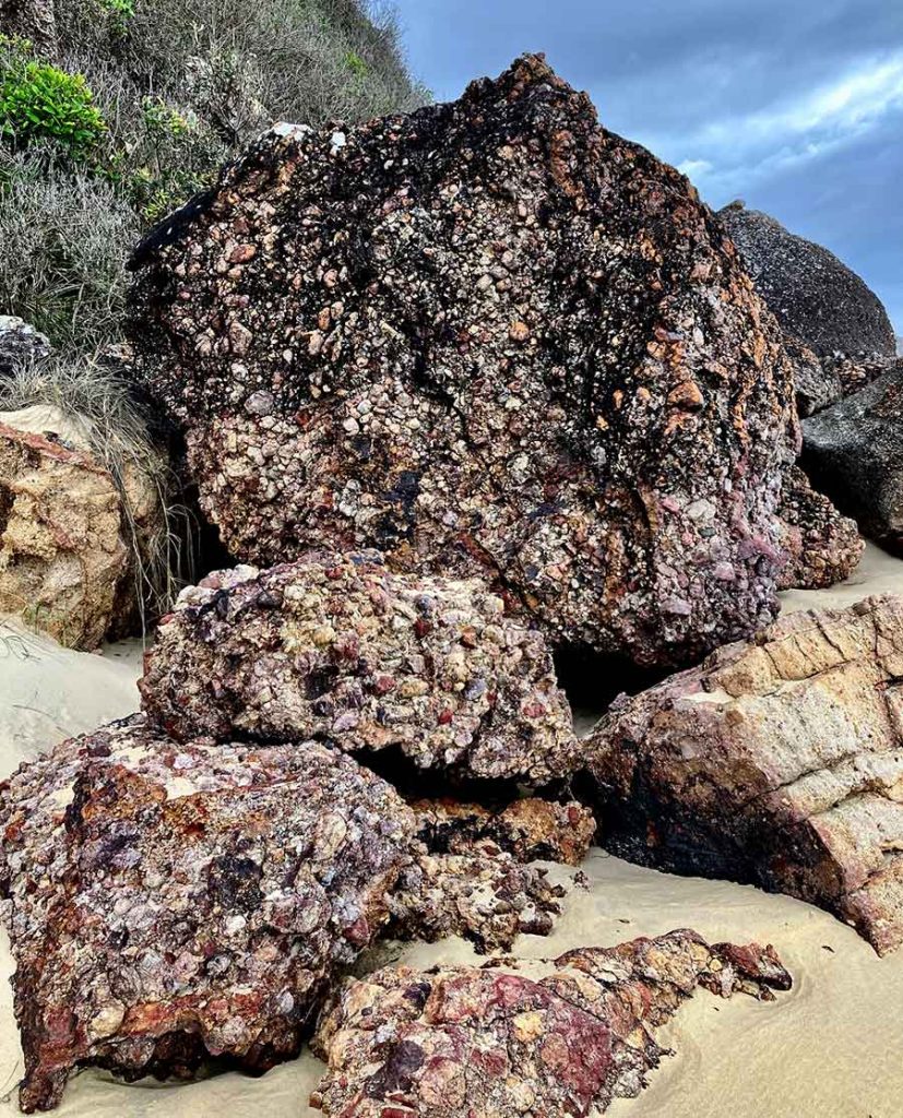
The rocks along the Port Macquarie coast are quite harsh and unfriendly in appearance. They are not foot- or hand- friendly either. Such a contrast with the gentle continuous swell that they edge.

There are many scattered ‘rocklets’  creating lacy patterns and sinuous swirls of their own.

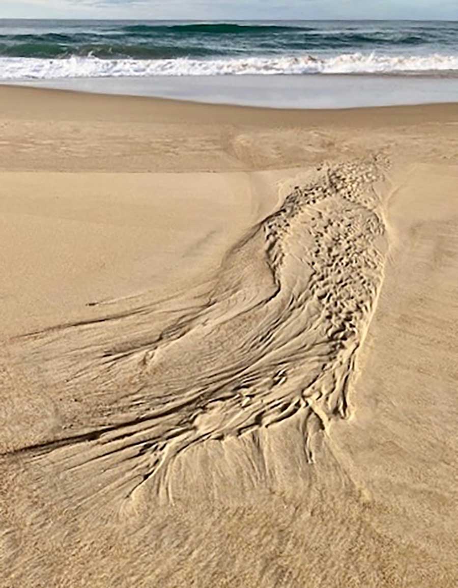
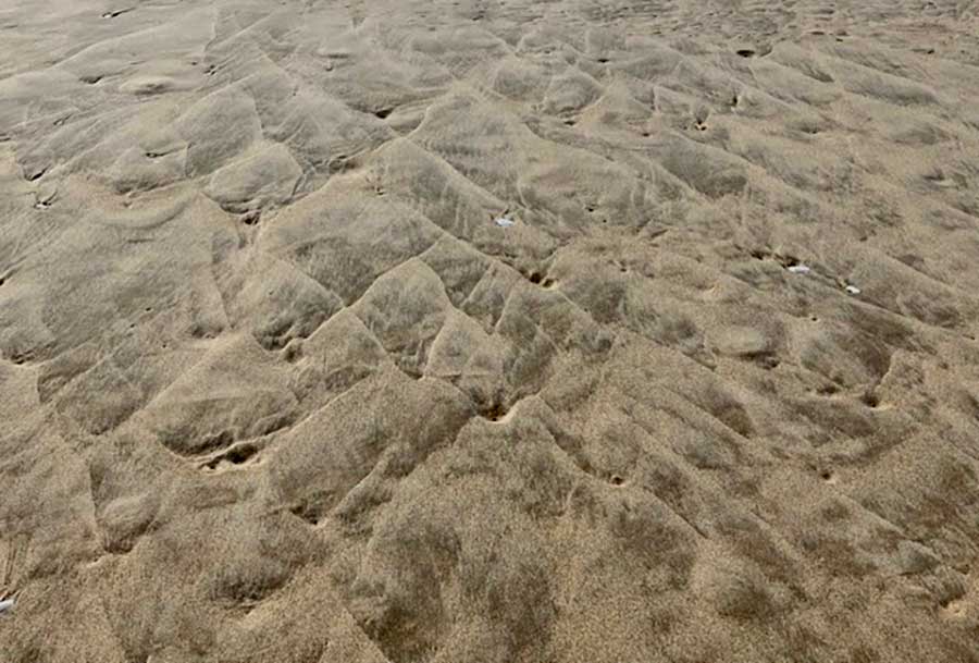
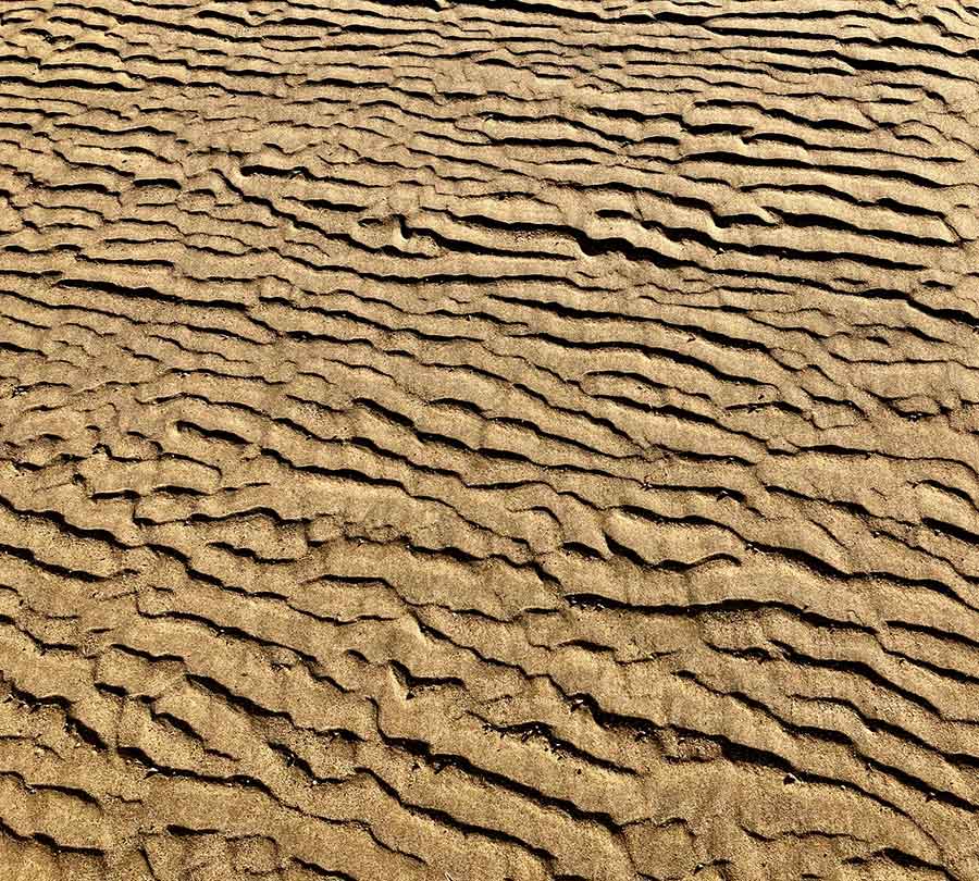
There were very few remnant patterns from the tide, but I don’t know the moods of this beach yet.

As this cliff and this beach are close to many flats and houses, I wonder about the content of the drips on several rock faces, where the liquid is like caramel topping, not water.

I am pleased to see a healthy banksia with candles all a-glow, but mainly the beach itself claims my attention.

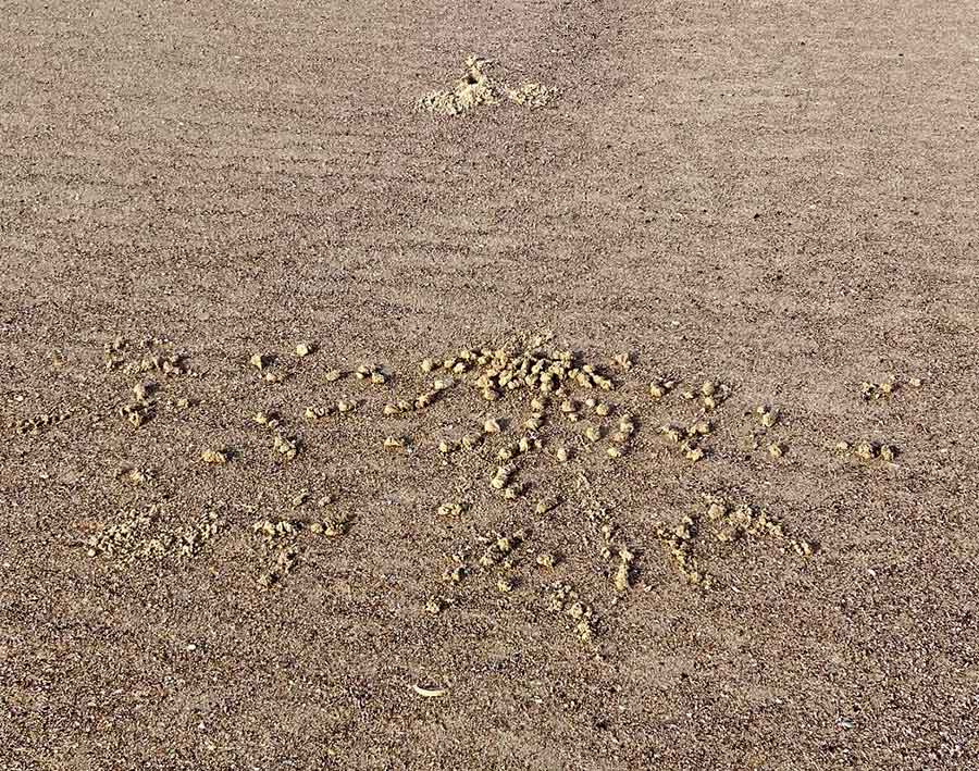
I sit on the edge of a sandbank and admire the tenacious grass runners. Not much evidence of crab activity, as I was used to at Dunbogan but then I am late here today.

It’s not a dog beach. There are just a few determined walkers, doing the length and back.

I feel so relaxed I could sleep on the sand.
Trying to understand why there is such a sense of peace here, I finally get it.

There are no vehicle tracks, no 4WD scourings, just the tidemarks…

Just Nature.