Southern Flinders

I have inadvertently passed through many narrow gorges that were part of Mount Remarkable National Park on the road to get to Mambray Creek

Because I didn’t stop, I realise I am a bit over gorges.

Where I will camp for a few nights is near a small one, beside the partly dry Mambray Creek.

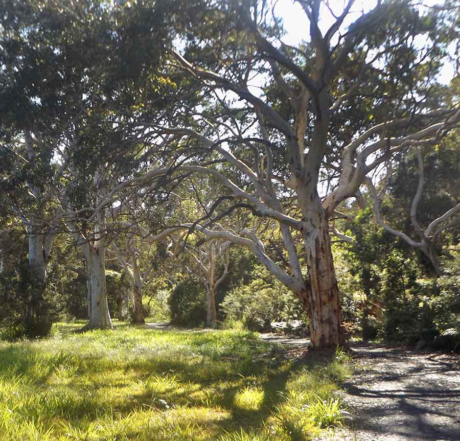
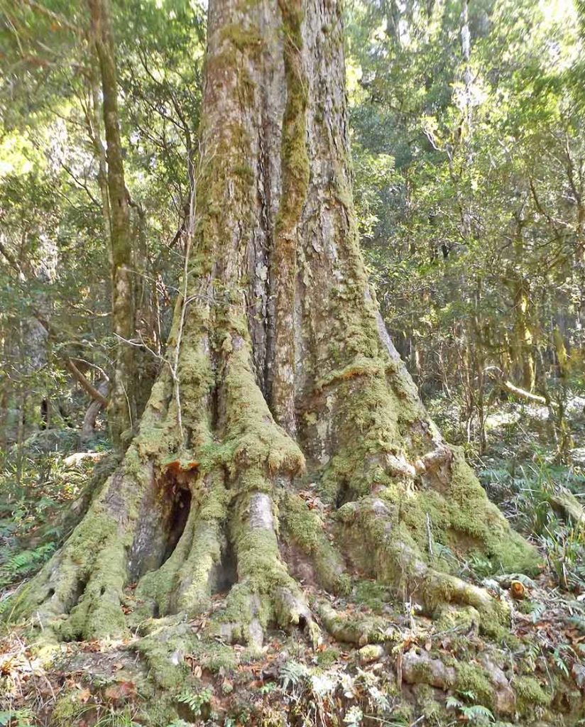
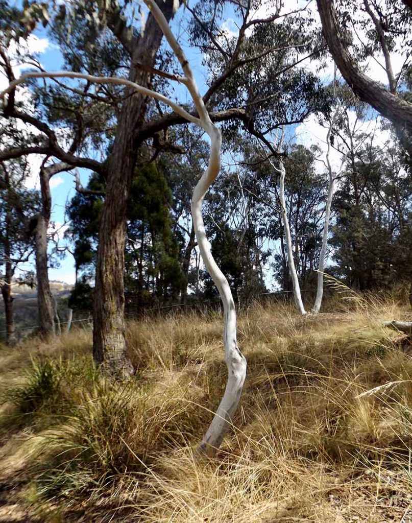
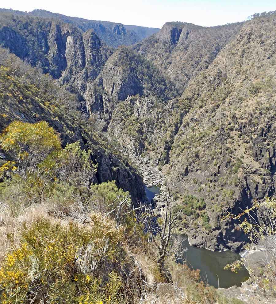
There are only a few walks short enough for me. They are mostly through native pine forests, with plenty of the amazing Wira or River Red Gums, in all stages of survival. No wonder the Nukuna people revere them so much.

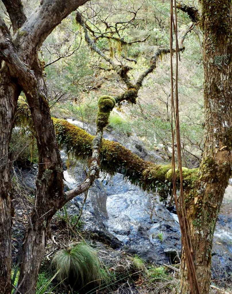
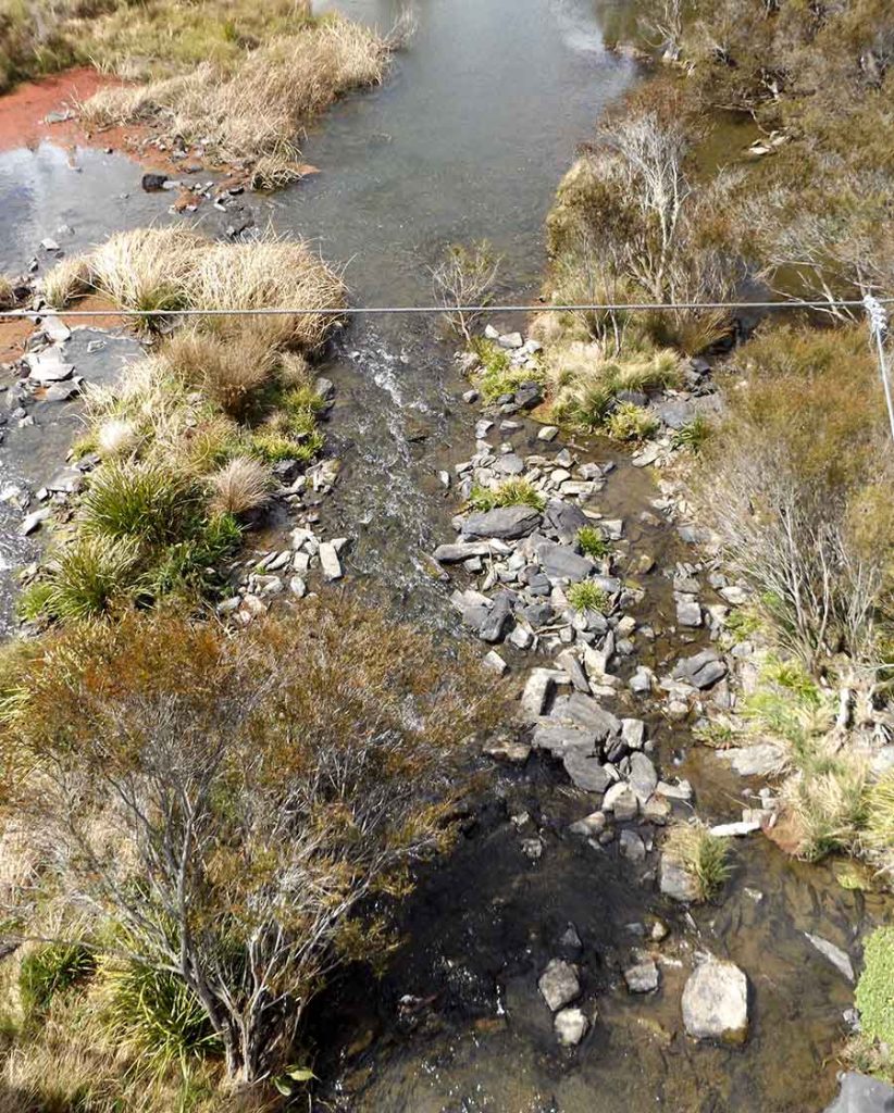
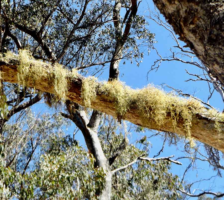
This one was forming a useful bridge as an alternative to the rocks in the creek crossing.

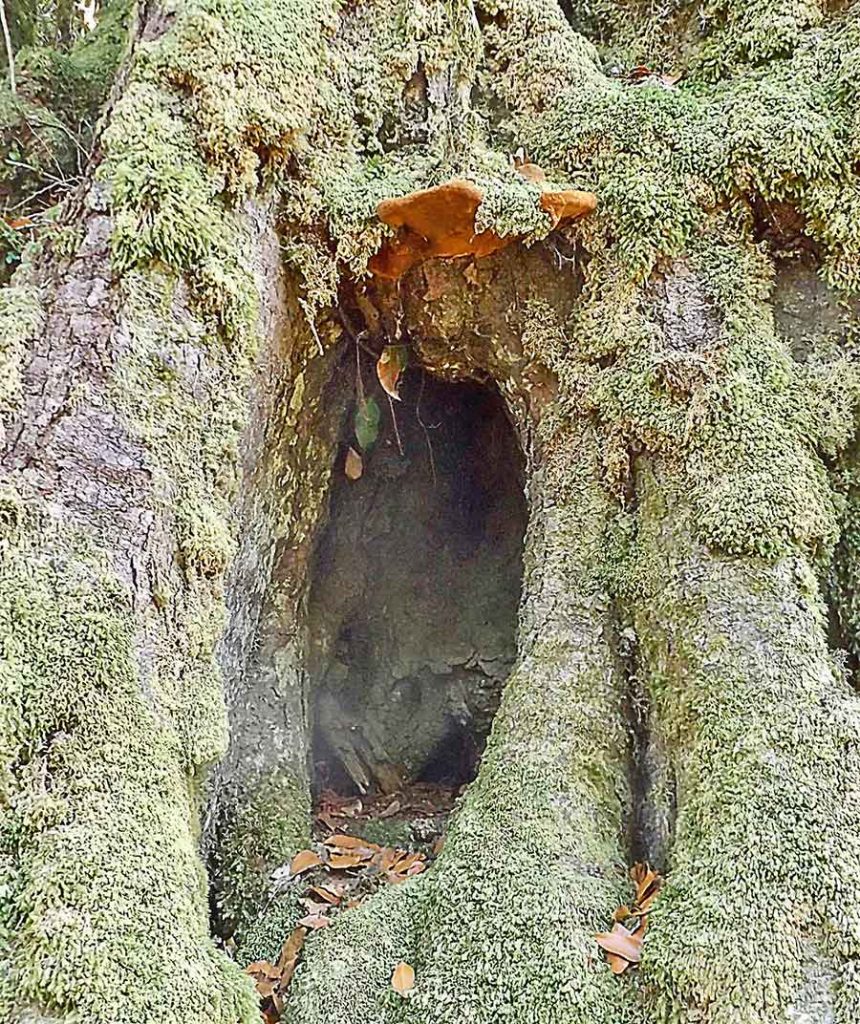
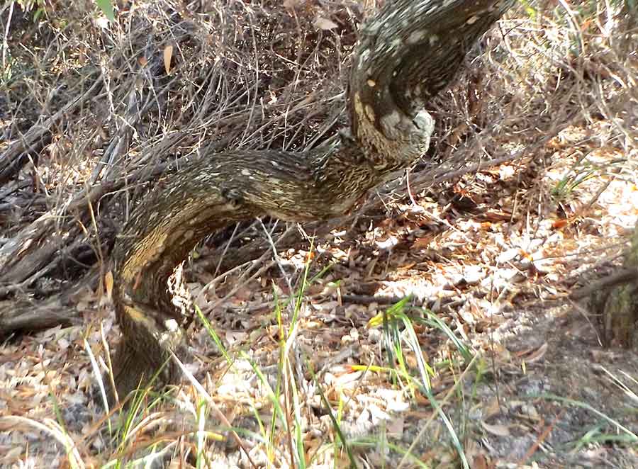
So many of these magnificent trees had been almost split in two or burnt out, and yet they still supported a living section of tree, and all the myriads of lives that this entailed.

Much in demand by everyone, but only over-cut and over-used by settlers, the mighty gums were not appreciated and protected in the past, as they are now.

The Mount Remarkable Range is the southern Flinders Range, of 800 million year-old sandstone.

You can even see the fossilised ripples of beach sand from its time as an ocean bed.

This is the last and most gentle part of my Flinders odyssey.

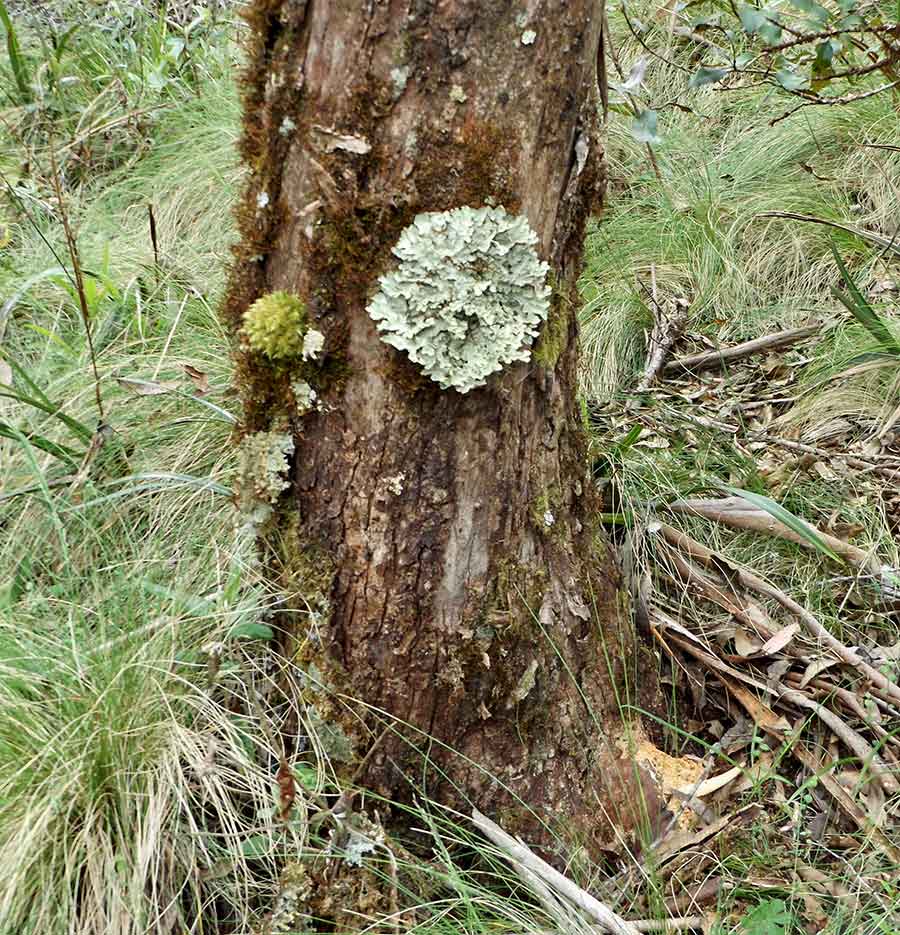
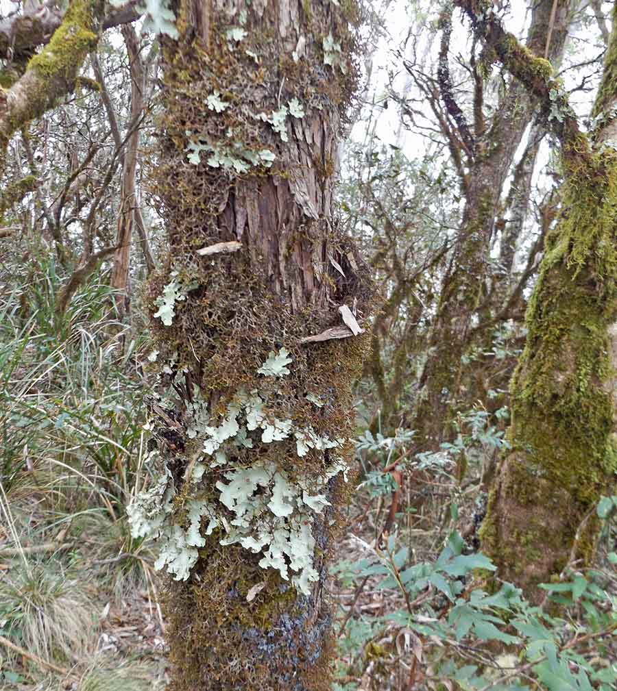
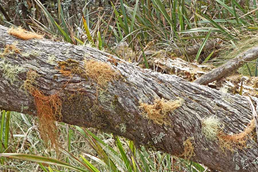
Like all of the Flinders it is very rocky, and the patterns and colours of the rocks and their lichens could absorb me forever.

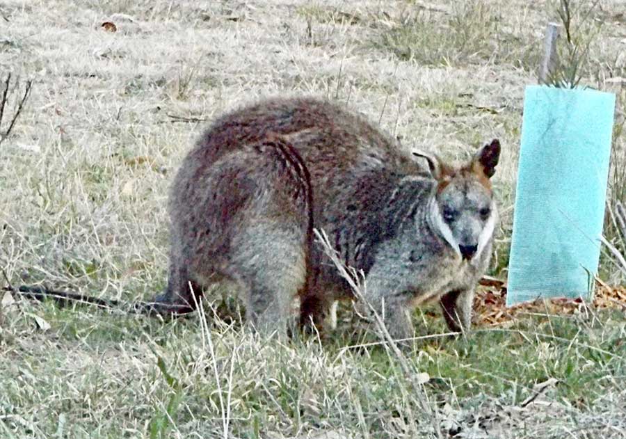
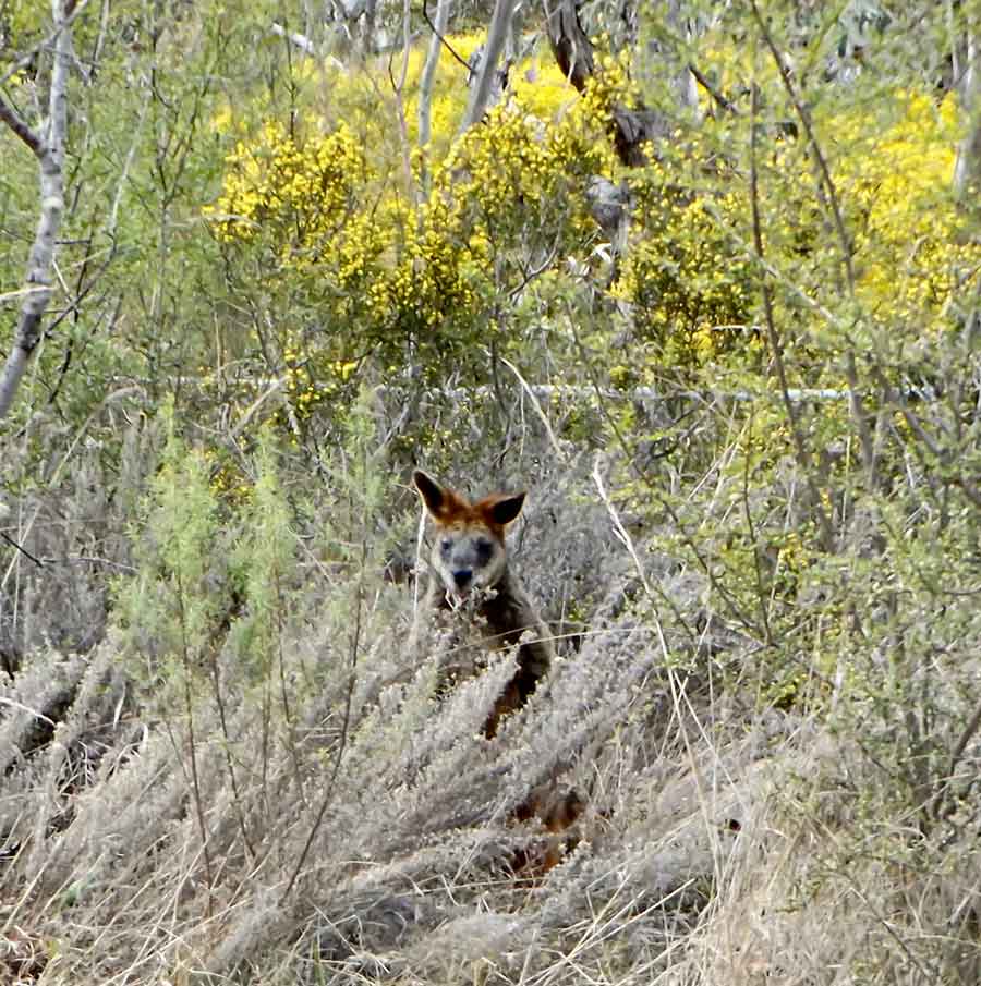
Along the track I passed two kangaroos, quite dark Western Greys, too involved in courtship to bother about me. From my time at the Mountain with Eastern Greys, I recognised the ritual…

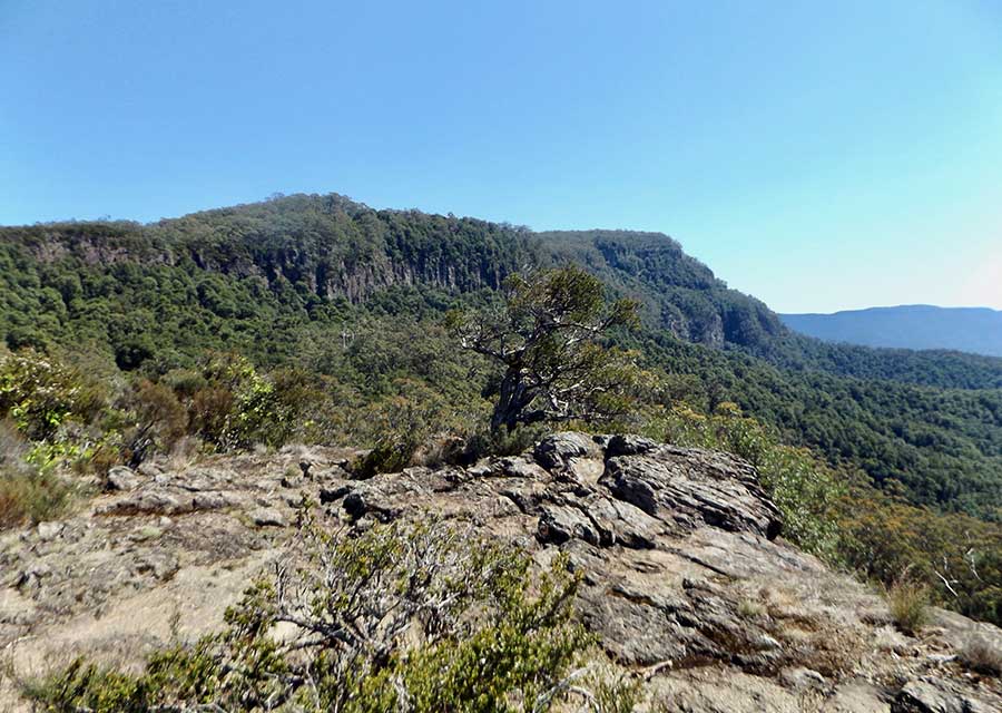
On another walk, I had good views back over the range, and was delighted to see that one of the millions of bush flies here had strayed into frame at just the right time.

At the campground, almost everyone, including children, wears a black net fly hood under their hat, so groups of unidentifiable people wander about looking like aliens.

I am wearing one now, even in my van, but hatless. It makes walking awkward, as you proceed with dozens of small black flies bobbing about within an inch of your face.

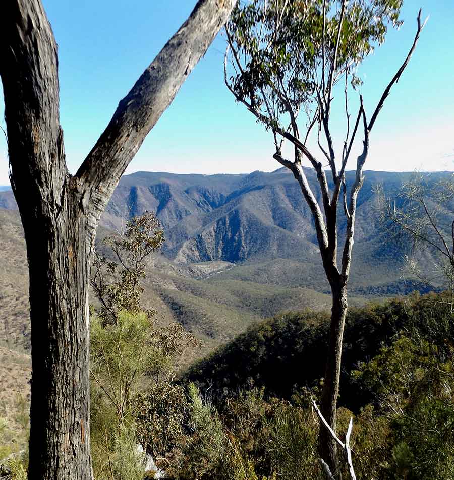
From that same hill, looking west I could see the blue of Spencer Gulf across the plain.

The end of the Flinders…

History transformed

Griselda’s Hill was overlooked by very scatty clouds as I left the weird other world around Arkaroola.

I would not be walking any more in this National Park as I realised it was too steep and rocky for my abilities these days. 

It was enough to have been here and absorbed its otherwordliness.

I was heading to the western side of the Flinders, via Copley and Leigh Creek.

The Copley Road is very different, still dirt but better than that from Blinman, and far more winding, taking me through gorges and two Aboriginal settlements, Nepabunna and Iga Warta, before it became open country, bare, harsh, and dominated by sheep.

I will miss the emus, so stately in walking, so ungainly in running, and the beautiful Yellow-footed Rock Wallabies. If only I had seen a real quoll…

Some country seemed as if painted by a child, with scattered pointy trees, mostly dead.

After the long stretch of dirt road (about 130km) Copley was welcome; a  tiny relic of a town, but with a great bakery/café and an obvious community vibe.

Back on the Outback Highway, the North Flinders Ranges kept me intrigued with their variety of formations and coverings.

I was curious to see Leigh Creek, knowing the town had been relocated years ago to get at the coal beneath. Echoes of Adaminaby… and Acland.

South Australia’s only coal mine, state-owned to supply coal for power, it had still been operational when I researched for Rich Land, Wasteland, but was due to close in 2015, so I didn’t get to that state.

The ’new’ town of Leigh Creek is a bit sad, as it was devastated when the mine closed, and people left in droves. The garage has a fascinating photographic exhibition of its history, which reads rather like that of the Snowy scheme.

But it is such a nice place, seemingly well-designed, with plenty of cheap empty houses, and a fabulous IGA that is as cheap as anywhere, and sells everything!

A local told me he was horrified when some perfectly good houses were recently demolished.

Where is the bureaucrat or politician with vision to restart the town and publicise these affordable houses in a housing crisis? 

It had begun to drizzle, and it kept up for some hours.

I had intended to walk in Parachilna Gorge, but the weather said no.

I called in at Parachilna anyway, where the rejuvenated Prairie Hotel is on all the tourist maps and brochures,

A revelation. 

There were dozens of caravans and 4WDs parked and double-parked out the back there, but the hotel, with its brewery and gourmet restaurant, is no longer an outback pub, but the city transported to the outback. 

A tourist oddity.

In Port Augusta, two sights had me puzzled.

The first is what seems to be a white salt lake either side of the highway.

The second is a large wind farm just outside town where not one of the many turbines was turning, not even slowly, so I assume not commissioned or connected. There was also a solar farm there beneath them.

Given that Port Augusta was where the coal power station was, it would make sense to use its infrastructure.
(But on my way back past there a few days later, I was glad to see that all the blades were slowly turning.)

One treat was the Port Augusta Arid Lands Botanic Garden, an achievement covering all the areas of the Fiinders and beyond.

The other was the Port Augusta Vinnies’ op shop, as I had run out of reading material.

I had stayed in Quorn that night, and was headed for Melrose Showground for the next, before my final NP stay, in the Southern Flinders Ranges at Mt Remarkable. 
After winding through charmingly rugged and narrow gorges, I hit farming country, with clearly higher rainfall. 
The ridges bore a sheen of green and the Patersons Curse weed was more lush and widespread than I’ve ever seen it.

The bright yellow-lime of canola crops began to appear alongside the wheat fields.

I detoured to Port Germein on the Spencer Gulf, a charming old windjammer wheat port with a very long jetty (currently closed after tidal surge damage). The pub does good coffee too…

And then on to the National Park, hoping for peace and quiet. But of course I had forgotten I would be there on a weekend, the last of the South Australian school holidays, and it was not far from Port Augusta.

Truly, my timing has been appalling on this trip.

Gritty Griselda

As the day dawns cloudy over Griselda’s Hill, I am happy to tackle this shortest walk here. Not being a national park, it does not have as much useful information re the length of the walk and what it involves.

A flock of Little Corellas gathers near my camp as I leave.

I don’t know anything about Griselda but her Hill is steep and rocky, and gets steeper and rockier as I climb.

Yet plants grow on most of the harsh hillside. Here masses of Silver Mulla Mulla bloom, in greater profusion than anywhere else I have seen it.

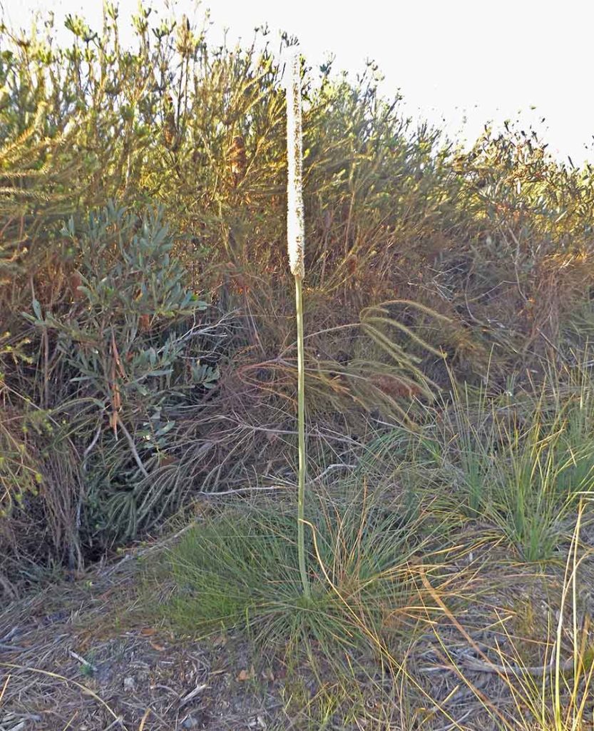
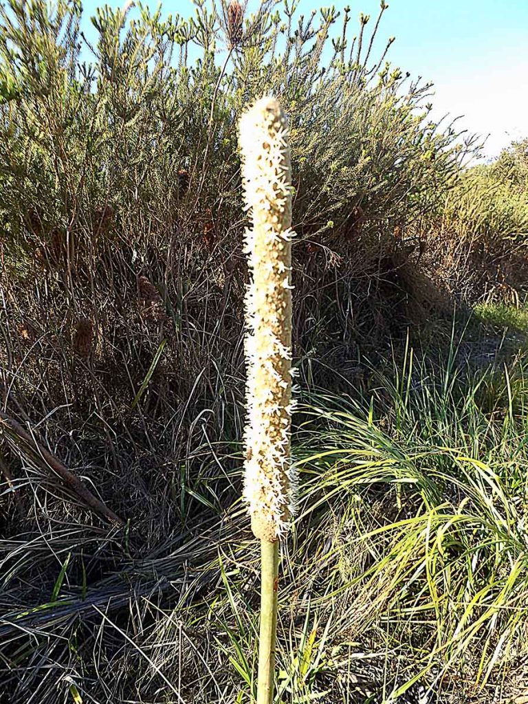
I almost reach the top, to the level where the Rock Grasstrees (Xanthorrhoea  quadrangulata) begin.

I turn to take in the view, seeing two of the observatories in this world class Dark Sky place. They were one of my reasons for coming here, but the long weekend and school holidays mucked up my schedule.

But as I refocus on my close view, with great surprise I notice a wallaby sitting right near me. 

I say hello. We look at each other for some minutes.

I praise her beautiful striped tail and ask if it ends in a point or not.

She doesn’t reply, but instead hops up higher to show me the thick end.

I later ask at the shop for any info on the animals here, but staff seem to be all backpackers, as at Wilpena.

This is, however, a Yellow-footed Rock Wallaby. I just didn’t know about that spectacular tail.

What a special meeting…

She makes me reconsider where I am. The height is now considerable, and I am not one for heights. I start to feel that pull to falling… this is beyond my comfort height.

While I am inclined to keep going, as I am so close, do I need to?

No.

I love the rocks here, but I know the trip back down will be an issue, even with my stick to help me balance.

Each step has to be weighed up, as to whether the stones to be placed under stick or foot are loose … which many are … which part of my bifocal glasses will give me the right depth perception, and how do I see what’s growing around me if I must watch my feet so closely??

Griselda, this is not really a walking track… and it is certainly not for someone whose agile mountain goat days are clearly over. 

I turn back and gingerly make my way down, stopping often to take photos.

Harsh it may be, but plenty of plants have adapted to growing here.

This pretty lilac-flowering shrub is Limestone Fuchsia Bush (Eremophila freelingi).

There were lots of these: Tomato Bush, (Solanum quadriloculatum) from the same family as our domestic tomatoes and potatoes.

But I only saw one of this, which seems to have blue borage-like flowers, not purple as all the solanums do here. A mystery?

Now and then among the rocks is a shrub of surprising delicacy, the pale yellow of what I think are Elegant Wattles (Acacia victoriae).

I kept hearing and seeing Willie Wagtail birds, but they are mostly too fast for me to snap a photo.

A great deal of chattering drew me to what i think I also saw at Acraman campground in Flinders; the sociable White-browed Babbler. And they do babble…

I do reach the bottom of Griselda’s Hill, grateful not to have slipped on any loose rocks. It is only then that I notice the sign there which says ’Griselda’s Hill Climbing Track’.

Lack of info: sorry, Griselda, you never said it was a walking track…

En route I spot this shrub, which  has to be Leathery Senna (Senna artemisioides subsp. coriacea), a first for me.

And I am still wondering about Griselda; a gritty girl indeed if she climbed that hill often…

Arkaroola — another world

With such a moon my last night at Alpana, I knew there’d not be much to see from Arkaroola’s three observatories.

Getting to Arkaroola from Blinman means 152 km of dirt road. I’d say that it had been brushed up for the long weekend as it was in good condition, if unpleasantly corrugated at times, such as after Wearing Gorge.

I was deliberately driving slowly, but quite a few convoys of 4WDs flew towards and past me, their following dust clouds betraying their approach.

The road to the Vulkathunha-Gammon Ranges National Park often goes through properties, and the first flock of sheep I saw looked absolutely incongruous.  They were unfamiliar, black-faced, and I had to look twice to see if they were sheep or goats. 

What do they eat?

The soil became red again, with distant views of the Flinders I was leaving behind.

I stopped in the middle of the road for this emu and her stripey chick.

About 50 km from Arkaroola, I also stopped to check on a car, pulled over, with luggage being removed. 

‘A puncture,’ the bloke said. It was a rental car, so who knows what state the spare would be in if he could swap it? I took his details to pass on to Arkaroola, where they were booked in. 

Too many kilometres later, I realised I should have checked that they had enough drinking water, in case they were there for some hours.

I saw them later at Arkaroola, where the tyre he had managed to change had been fixed.

Arkaroola Village is a strange place, sitting as it does in the midst of the most rugged and harsh ranges you could imagine. It could well be on the moon, it is so different from anywhere else I’ve been.

It is part of the Arkaroola Wilderness Sanctuary, but doesn’t feel like that.

It is an odd cross between a resort, with lots of accommodation and a huge licensed dining area, and a mining town (copper), with much leftover machinery from various times, and with mechanical services on hand.

It has phone reception… and fuel, at $2.45 a litre for diesel. This will be by far the most expensive yet, but as I said before, out here fuel supply is sporadic and essential, so it comes first, at whatever cost.

And of course, my timing is impeccable, and the observatories are not open, due to the full moon.

The toilets are out of order; the smell is unpleasant as workmen dig and try to fix them, but there are emus wandering through the camp and I have great views of Griselda’s Hill, which I vow to walk tomorrow.

Station-ary break

To escape the tourist crowds on a long weekend I had chosen to hole up at Alpana Station, outside Blinman.

No reception, but a free rein on camp sites beside the dry bed of Butler’s Creek, lined with majestic old River Red Gums.

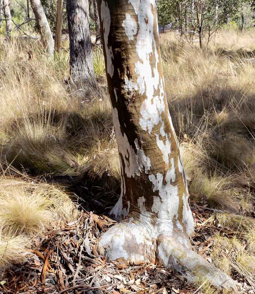
I chose to set up beside this gorgeous one, multi-trunked, with long sinuous arms snaking sideways. Their silvery markings shone like the finest silk stockings…

I had no plans to do much except rest, read, play house with the camper, cook on an open fire and catch up on posts. These I would research and then send off in reception-rich Blinman when I left on the Monday morning before I set off for Arkaroola.

I decided to walk up to the prominent Rocky Nob above the home paddocks, including Bill’s Paddock where I was camped.

The Nob had one tree on top, bravely hoisting the flag.

As the track rose, it offered views over the Flinders Ranges back to Wilpena Pound.

It also gave me some surprises, like this stunning Mallee Ringneck parrot feeding along on the ground. 

I wonder what it is eating?

Alpana’s Sally Henery told me that the main green ground cover I have been seeing everywhere is Ward’s Weed, introduced around 1915. A successful invader certainly, but It is extremely useful, she says, as even when it dies the sheep find it palatable.

But the ground here is full of tiny things whose names I don’t know. 

There were only a few patches of this fluffy plant (left) and similarly (right) of these tiny spots, like fish scales… a lichen or ?

As at Bimblebox in Queensland’s Desert Uplands, I felt I should be crawling along so as not to miss anything. Dryland secrets.

I saw quite a few of these straggly trees, which at times did resemble olive trees. I think they are Bullock Bush (Alectryon oleifolius) and they are grazed from below to the height of whatever creature is eating them. Emus? Amazingly, they are a remnant plant from over 10,000 years ago.

But I wandered on these rocky hills for a time, unsuccessfully seeking trail markers.

I felt I could get lost in the gullies, once the Nob or the Homestead was out of sight, and decided to return to the last found marker, and thus to the camp.

As this would mean coffee, and I was on a lazy break after all, I didn’t mind.

I’d earned my stripes bushwalking elsewhere.

As the sun prepared to set for the night, and I lit the fire for cooking… and for the sheer pleasure of watching it… I sighed with the relief of these few undemanding, peaceful days in such a setting.

Thanks for sharing your place, Alpana Station.

Copper history

Blinman, the highest town in South Australia, came into being in the 1860s, near its copper mine. Today the underground mine is long gone, but tours of its tunnels and relics are always popular. The day’s tours were fully booked out when I was there.

The copper history keeps Blinman alive, and on the 4WD touring schedule, where a stop at the Blinman Pub is mandatory. There is also a bakery; no fuel, but fresh bread?

Even worse than today, the mining practices have left indelible reminders. This is where the molten slurry from the refining process was tipped.

Apart from the tourism generated, the relics of the Blinman mine are not good: slag heaps and the introduced and now feral peppercorn trees.

I only wish the Hunter coal mines were at this stage, but their final voids and overburden mountains will not be so small…

Staying overnight out the back of the pub in their small and basic camping ground, the only one in town, I catch up on my emails.

I swap some books at the Mine Tour office, and visit the surprisingly good Flinders art exhibition in the old town hall, and have a draught Flinders lager at the pub.

But I am waiting for the next day when I can get the key to go inside this small cottage in the main street, right beside the bakery/café. 

Of the regional pug and pine construction, it is different to the one at Aroona in several aspects. The ‘pug’ is made of lime and sand, and strips of hessian have been tacked over that and whitewashed. Internal walls were adzed to give a flatter surface for the hessian.

The higher mansard ceiling would have made it a bit cooler in summer, and there are fireplaces in two rooms for the winter cold. It must still have been less than comfortable!

I keep wondering why domestic buildings were not built of stone more often, as it is so readily available. Rubblestone walls would have to be less arduous than this.

As was the safety custom, with a wood-fired stove going all day, the kitchen is a separate building. Here sheets of tin… from old kero tins?… line part of the walls.

The large stove is a beauty, with a water jacket (right) and two ovens, I wish I’d had it at the Mountain!

Rose Cottage is a restored pug and pine cottage for accommodation rental in Blinman, and it does give an idea of how a fully sealed and whitewashed home must have looked like.

But the highlight of my visit was the old, unrestored 1860s home of the Williams family.

It is a bit of a mess, as many items have been dumped in here. It seems as if they need a museum as well to house the things that I assume folk have donated but which don’t belong in the cottage.

Yet as the lady who was ‘manning’ the art exhibition explained, with gold coin donation entry, they don’t have enough volunteers, so I guess that would apply to any museum.

But given the amount of tourists wandering the short street of Blinman town looking for things to see and do, surely a museum with paid entry would be patronised?

Maybe while they are waiting for the next mine tour, to know more of Blinman than its copper history…

Fuel comes first

As I drove up the Aroona Valley in cloudy weather, this flock of emus seemed ethereal in the light, high stepping their way through the onion grass flowers.

It has been suggested to me that perhaps all this onion grass came from the Afghan cameleers who used the seeds as fillers to make the packs sit better. Perhaps. Nothing eats it, so it’s spread far and wide. I can’t deny it’s pretty, but oh dear…

I guess Heysen chose only three of these slanted mountains to be able to call his painting ‘Three Sisters’, but there are serried rows of them; at least ten here in one view.

The road follows the Brachina Geological Trail, frequently signposted, and it is mind-bendingly incomprehensible to me that the rocks I look at are over 500 million years old. About 150 million years ago, these ranges were created as the earth’s horizontal layers were pushed up into a dome, which was later eroded, exposing these side shafts of rocks laid down long ago.

‘A corridor through time…’ says one sign. 

‘The bare bones of the earth; said Heysen.

I call in to see the Adynamantha rock art, unusually on low rocks here, but can’t discern much without guidance: this circle stands for ‘camp’ apparently.

There is some interesting vegetation along the nearby dry creek. This bush had one lone fruit still hanging on, damaged, but I think it’s a Quandong (Santalum acuminatum), a popular fruit for both people and animals.

I like that the Bounceback signs at most stops are from the viewpoint of the feral animal or plant being targeted. Here it is a tongue-in-cheek rabbit realtor. Very effective.

I  drive partway up to the ‘Great Wall of China’, and I can see why that is so named, but the track is rough and there is a long convoy of serious 4WDs following me. I pull over and let them pass, then turn around. The different stone capping of the Wall is visible for kilometres, and much visited.

Needing fuel, I turn off to Angorichina just before Blinman, without even driving in, as it looked unpleasantly touristy, full of parked 4WDs.

As I drive, the country changes from pine woodlands to a sort of mallee.  Sparsely dotted gorges loom close, but at the time I think  that I will be staying here and heading on to Parachilna, so will take photos later.

After 15kms of dirt road, I reach Angorichina. There is fuel, but no phone reception. 

‘Ya coulda got that at Blinman’, says the shop bloke. 

But Blinman no longer has fuel. Even the underground tanks have been removed, I was later told.

So, refuelled, I  retrace the 15kms of dirt road to Blinman. I really need a burst of reception to clear the backlog of emails.

This is high country, and in the distance on all sides I can see the rugged outlines of the Flinders Ranges.

And yep, Blinman is still full of 4WDs. But I have four bars on my phone, so…

Around Aroona

The shadow of Heysen looms large here; this is the view of the Range he chose to paint as the Three Sisters, and to this point he would apparently come for a sunset beer. It is much greener today than it must usually be, but the green veil is not grass.

There is a walk that roughly follows the trail between Hayward’s shepherds’ huts, using both the dry Aroona and Yuluna creeks. The views to the range over the ever-present pines are stunning.

Zooming in, I can see large holes that might be caves and I wonder who or what has used them.

These Northern White Cypress pines grow everywhere, and at the base of most is a Fragrant Saltbush; seems like a beneficial arrangement; birds like the red berries of the saltbush and sit in the tree to eat them, plus the tree would catch some shade and water.

On the flats I see more emus, flighty as usual (that’s a pun; I know they can’t fly). I now know that the very runny splats I saw at Bunyeroo are actually emu scats, as they are here too. Emus poop as they walk, which is why their scats are often on tracks.

I have seen a few of these small trees, and I think they are Eremophilas, Emu bushes, but what sort ?

I miss my experts… and I don’t mean Dr Google. ‘Eremophila’ means ‘desert-loving’, and are usually found where emus are too; apparently emus like to eat the fruit.

The galahs and cockatoos love the woody female fruit of the pines, and although these trees don’t have flowers, when the tips of the male cones at the end of the leaves trees glow golden, ready to release their pollen, you’d think they did.

But boffins, what are these shy little plants, I want to ask?

What is the ground cover that has created these fluffy seed? Eruptions in one isolated patch?

And why are the rocks on only the one slope coloured almost blue with lichen, be they in sun or shade?

Like with the River red gums, I am now addicted to taking photos of this range each time I see it from a different spot… I promise not to share them all.

On my return from the walk I found my overnight neighbours had left, which was a relief. I had thought it admirable that the father had brought three small children camping, aged maybe 4 to 7, but I hadn’t realised he had also brought a motorbike.

This morning he started it up and gave each of the kids in turn a full-on road ride sitting in front of him. Nobody was wearing helmets… 

I winced at the danger to the kids, and the loud roar of the machine (I hate the things), but I held my tongue.

I wondered what their mother would say about this, if she knew. 

And last question: why are there so many bush flies here? It’s impossible to walk without a fly veil or you need a spare hand for constant flyshooing…

Aroona Valley

Heading into the Aroona Valley, I can feel the Ranges becoming more real as it narrows.

Spectacular colours, and millions of those hardy pines growing wherever they can.

No wonder that in 1851 Frederick Hayward chose here for his selection, plus there are springs here, one close to the ruins of his stone house on a small ridge. It is near what is now the edge of the Ikara/Flinders National Park. Great views, and water, so precious in this environment. 

He ran sheep, lots of them, only staying 11 years before returning to England, having made his fortune from their wool.

Naturally, as an old owner builder and Owner Builder writer, I was fascinated by the ‘pine and pug’ restored buildings nearby, which Eddie Pumpa had built in 1925 and where Hans Heysen the painter sometimes stayed.

The restorers have left small areas of the ‘pug’ used to seal the walls, both inside and out. The pines were used whole, as back in the NSW west this is known as the most terrnite-resistant way to use them. The pug was made from the local clay and sand.

As always, good owner-builders use what’s around them: stones, pines and dirt.

The fields of these pretty wildflowers I have been seeing absolutely everywhere now fill me with as much despair as did the feral goats. A walker has identified them, dismissively, as onion weed; not native wildflowers at all, but an incredibly pervasive, invasive feral plant.

There is often a dash of purple from the introduced Paterson’s Curse, which I did know, and have also seen widely spread on this trip.

I have not had the heart to ask what is the green plant that covers everywhere that is usually brown or orange or white bare ground as I assume it is a feral weed.

Oh dear…

Grand Brachina Gorge

Being reintroduced as part of the Bounceback program, these Yellow-footed rock wallabies are perfectly at home here in Brachina Gorge, where there are not only lots of rocks, but small caves, which is how I spotted this one. They were prized for their fur by early settlers, which is why they became so rare.

Driving through Brachina Gorge, mostly beside a dry creekbed, there are plenty of showstopping rock formations; they certainly stopped me, often.

Note the area of oddly pale and rounded boulders at the foot of the wave cliff.

I needed a guide constantly at my side to answer my questions… how, why, when?

At one point there was a large scree of loose stones, and beside it the rock walls were noted as habitat for the very wallaby species I was so fortunate to have seen.

Look at the huge log pile against the gum to the right; this whole gully floor must be a rushing river after good rain.

Most of the Flinders gorges I have now seen hold very few caves, so the abundance of them here surprised me.

Seeing the exposed roots of the bordering gums, I can imagine such a gully river even better.

Not that I want to see one, as my AWD van might not cope, and there are daily gatherings of clouds, which, as I’m not local, I can’t interpret.

They tend to dissipate and a cold breeze dominates daily, which does not drop at night, but gusts fitfully and often strongly, so I keep waking up and wondering if I shoudl pull down the roof.

 I do worry about rain as there are many dips and fords for the many currently dry creeks.

One dry day at a time…

Geology garden

From Wilpena Pound to Bunyeroo Gorge the drive is through so many White Cypress (Callitris glaucophylla) trees that you’d think they were plantations had they been in lines. Decoratively shaped and clearly hardy, growing on the stoniest ground, these trees were very useful to the Adynamantha people, the wood for woomeras and spears, the gum and resin for adhesives and medicinal purposes.

But by this photo I felt I was heading into the real Flinders Ranges, with such rugged beauty lying in wait.

Native daisies abounded: the white ones are Showy daisy-bush (Olearia pimelioides ssp. pimelioides) and the yellow are Showy Groundsel or Camel weed (Senecio magnificus).

Probably the most common flowering plant everywhere I have been in these arid places has been the Hop bush, the Dodonaea. I assume that the greenish-yellow ones will mature to pink, the Lobed-leaved Hop-bush (Dodonaea lobulata). But here for the first time I saw a few bushes with much darker red flowers. I have now been able to check that the leaves are the same, so they are not a different species. But why some bushes nearby flower earlier, so have already matured to a darker red, I do not know.

These small bushes were common, and I think they are Silver Mulla-mulla (Ptilotus obovatus). Incredible what plants can survive in these harsh stony ’soils’.

For this Bunyeroo Gorge has a whole walk dedicated to its extraodinarily varied geology; I did half of it, which is how I can identify the many odd and smoothly rounded slopes of ultra-fine stones near where I am camped. It is ‘Bunyeroo Formation’, with cypress trees sometimes growing out of it and sometimes with larger stones scattered over it.

The Bunyeroo Gorge walk itself follows a mostly dry and of course stony creek bed, with the gorge rising beside it, well signposted for the different formations… and often beyond my ability to discern the object of the sign.

These ranges must be a geologist’s dream, and I feel guilty for not appreciating enough the ancient history laid down here in the layers.

Instead it is these mighty River red gums (Eucalyptus camaldulensis).that catch my eye time and time again; I could have done a whole post on their amazing trunks.  I have to force myself to stop taking photos of their many varied shapes and markings, let alone their incredible ways of coping, being such grand survivors of both flood and fire… another sort of ancient history.

Speaking of history, at my campground there was one other group, a doctor and his family from Iraq, but originally from Palestine. What must they feel as their homeland is destroyed and the world does not stop it?! Unimaginable…

They had hoped to see some Aboriginal rock art here, but I explained it is now more protected… except in places where industries like Woodside’s gas projects still take priority. They said that similarly in the Middle East, much history has been destroyed.

But as the sun came up, we moved onto the more immediate topic of our tiny and annoyingly clingy bush flies, suddenly appeared. What are they after on our faces and where do they go at night? I wished I knew more…

Wilpena Pound

I mistakenly had in my mind that Wilpena Pound was THE Flinders Ranges destination. In reality, it is most atypical, in many ways. The only campground within the Pound is extra expensive, being a fairly posh Discovery Park. It is run with the traditional owners, the Adnyamathanha, and their signage with their relevant stories along the walks was fascinating. 

It is well done, with rammed earth amenities and Visitors Centre, a shop, fuel, restaurant, variety of accommodation, and heaps of shelters and facilities, with hot showers and flushing loos. As you can see, these are well spaced and the area is lush with trees. 

Having got over my astonishment at visitor numbers and facilities at Cradle Lake In Tasmania, it was not such a shock.

There is a large area for powered sites but also plenty of room for solar-powered campers like me… unlike at Dove Lake in Tassie.

You do get a glimpse of the Ranges as you drive into the Pound, but if that was your only destination in the Ikara/Flinders Ranges, you’d be very misled. Once in the Pound itself, you are cocooned.

I’d say there would have been a quite a lot of people visiting only there, having whiizzed up from Hawker, plugging in their caravans, buying souvenirs, doing the gentle walks along the dirt road by the side of the creek, shaded by many River Red Gums and cypress trees, or even getting the shuttle bus for part of the way.

While there were few spots along the creek still holding water, evidence of the piled up logs showed its past power. There was even a small lagoon at one spot.

But I soon left the easy road and went up higher on the Boom and Bust track… not intentionally, as they’d changed the name, but it added an hour and a half to my walk, and more steep parts than my knees wanted. However it was interesting to see the drier country plants flourishing away from the creek.

The ’Pound’ itself is a creek-centred and thus treed gully, naturally enclosed by the ridges, widening out at the Hills Homestead end into the site of its early wheat-growing period.

There are other higher and steeper walks for the experienced or young to choose, but I was trying to be realistic.

At the old Homestead (rebuilt, closed up) I climbed only half of the way up to the Wangarra Lookout, to the first lookout. I was blessing my trusty walking stick, but by this stage my feet hurt, my knees were whingeing, and I was not lifting my feet enough, so I knew I was tired, and thus liable to trip.

I contemplated getting the shuttle bus back but the waiting driver said you had to have paid in advance.

He passed me twice on his runs as I was slowly trudging the three kilometres back … mean!

And just as I was reflecting that thankfully I’d seen no feral goats, as if on cue, right behind the sign about them, there they were! But the sign was rejoicing really, as were others I saw praising the Bounceback program, where the deliberate return of native species was making life harder for the invaders. Here it was the Yellow-footed Rock Wallabies, combined with culling programs.

As there was phone reception here, I could hotspot, so I spent a day catching up with this blog … and resting those overstretched ageing body parts. 

I was also trying to identify strange plants; this slender, graceful one was an isolated plant near my campsite, and I think it’s a Weeping Pittosporum (Pittosporum angustifolium).

On my higher walks this narrow-leaved beauty caught my eye; it seems to be the Silver Cassia (Senna artemisioides), which I had spotted in a few other places.

But there were other eye-catching white-flowering ones that I cannot find.

I did buy the liltle ID booklets at Wilpena Pound, and I had searched unsuccessfully for a similar South Australian native plant boffin group as I have in NSW. I need them…!

The staff at Wilpena that I spoke to were not National Park rangers and could not help with plant IDs.

As i drove out, the green paddocks and rolling hills could have been anywhere… like the Hunter Valley before it was disembowelled for coal… except for the occasional emus unhurriedly strolling by. Such strange birds…!

I am heading for Bunyeroo Gorge and a much less posh campground, with no reception and no flushing loos. More my kind of place…